Walking from Cowes to Yarmouth on the Isle of Wight
Overview
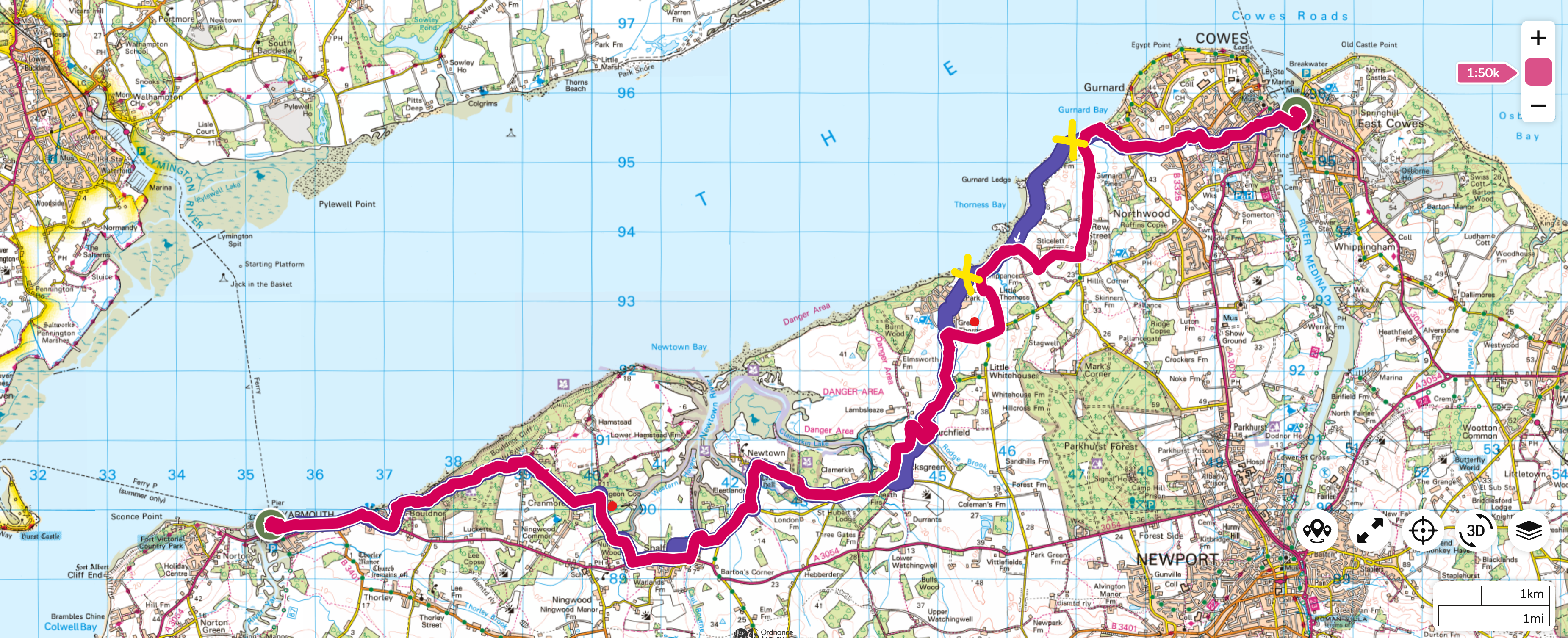
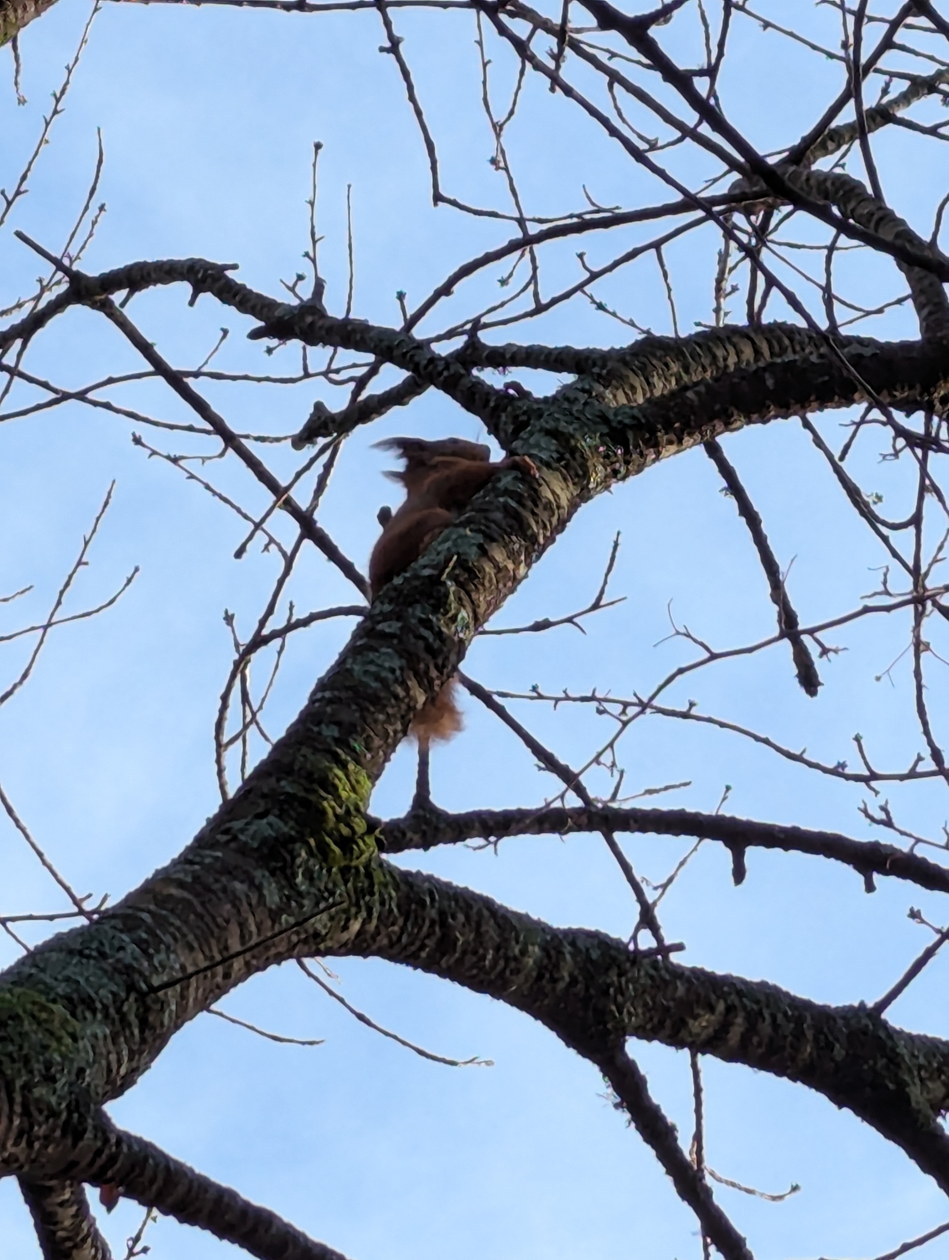
Alfred Korzybski’s “the map is not the territory” was very literally true and this walk was a very mixed bag. I wouldn’t necessarily recommend it, especially not after heavy rain. It was supposed to be about 23 km/14 miles, but ended up as 27.3 km/17 miles due to closed eroded/paths and having to detour (Figure 1). It would have been impossible without walking sticks (which I took expecting not to need them) and even with them I got wet feet and very muddy. There was also much more road than I expected and although it was pretty quiet, walking on the edge of a 40 or 60 mph road with no pavement isn’t much fun. And this was supposed to be the Coastal Path (Marek does the whole Island in summer in his YouTube video). Certainly this part of the route doesn’t have much within the sight of the sea. That said, the weather was perfect and I saw not one, but two red squirrels, locations marked on Figure 1, the (not very good) photos of the squirrels are Figure 6 and Figure 10.
It took me about 6 hours with minimal breaks as I was racing against the light. Below are some photos I took along the way with my Pixel 7 phone camera and few notes.
Photos from the walk
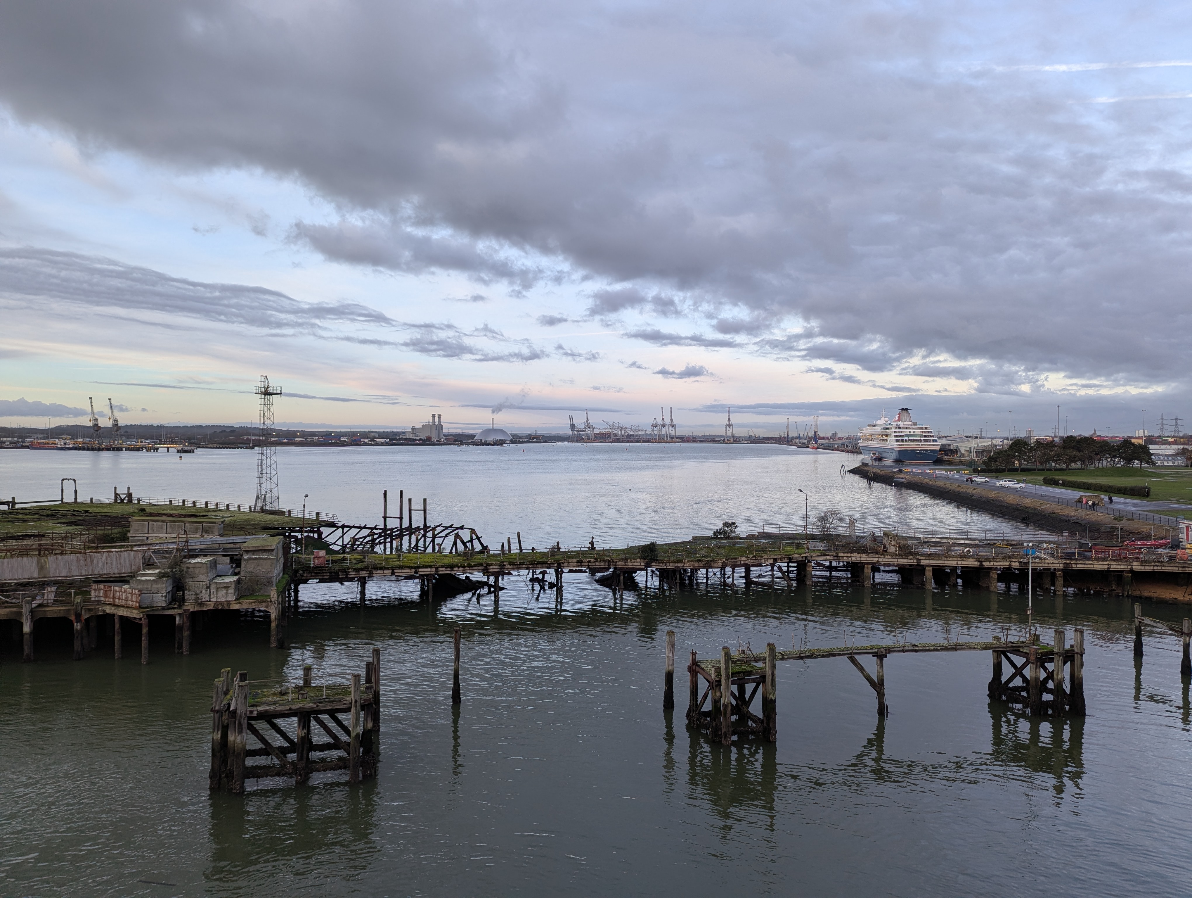
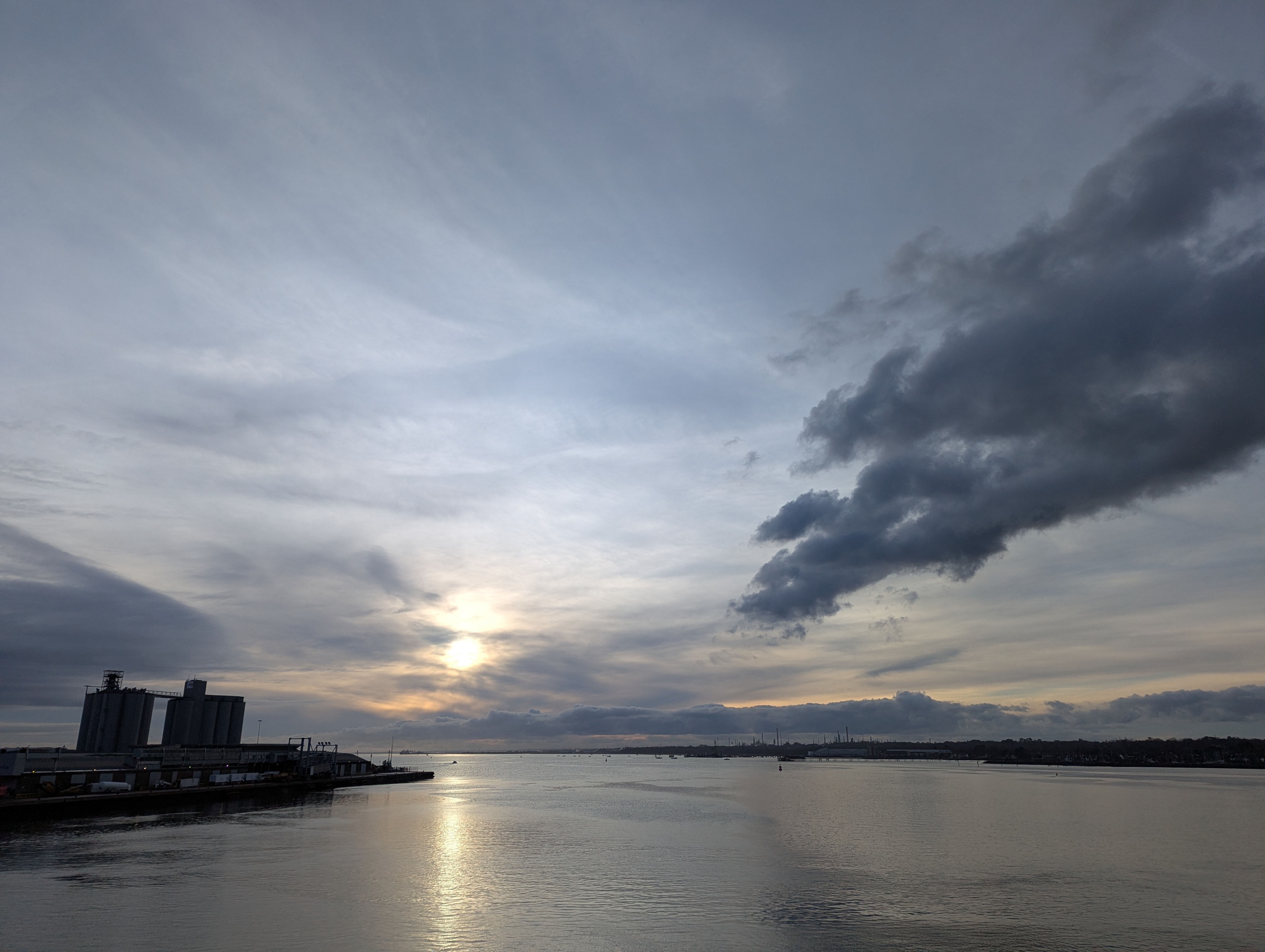
I left the flat just before sunrise and took the bus to the centre of Southampton to catch the 0900 Red Funnel Ferry from Southampton to East Cowes (Figure 2). £13.20 one way as a foot passenger. It was a beautiful morning and I sat on the front of the ferry in hat and gloves watching the sun slowly climb above Southampton Water and the Solent (Figure 3).
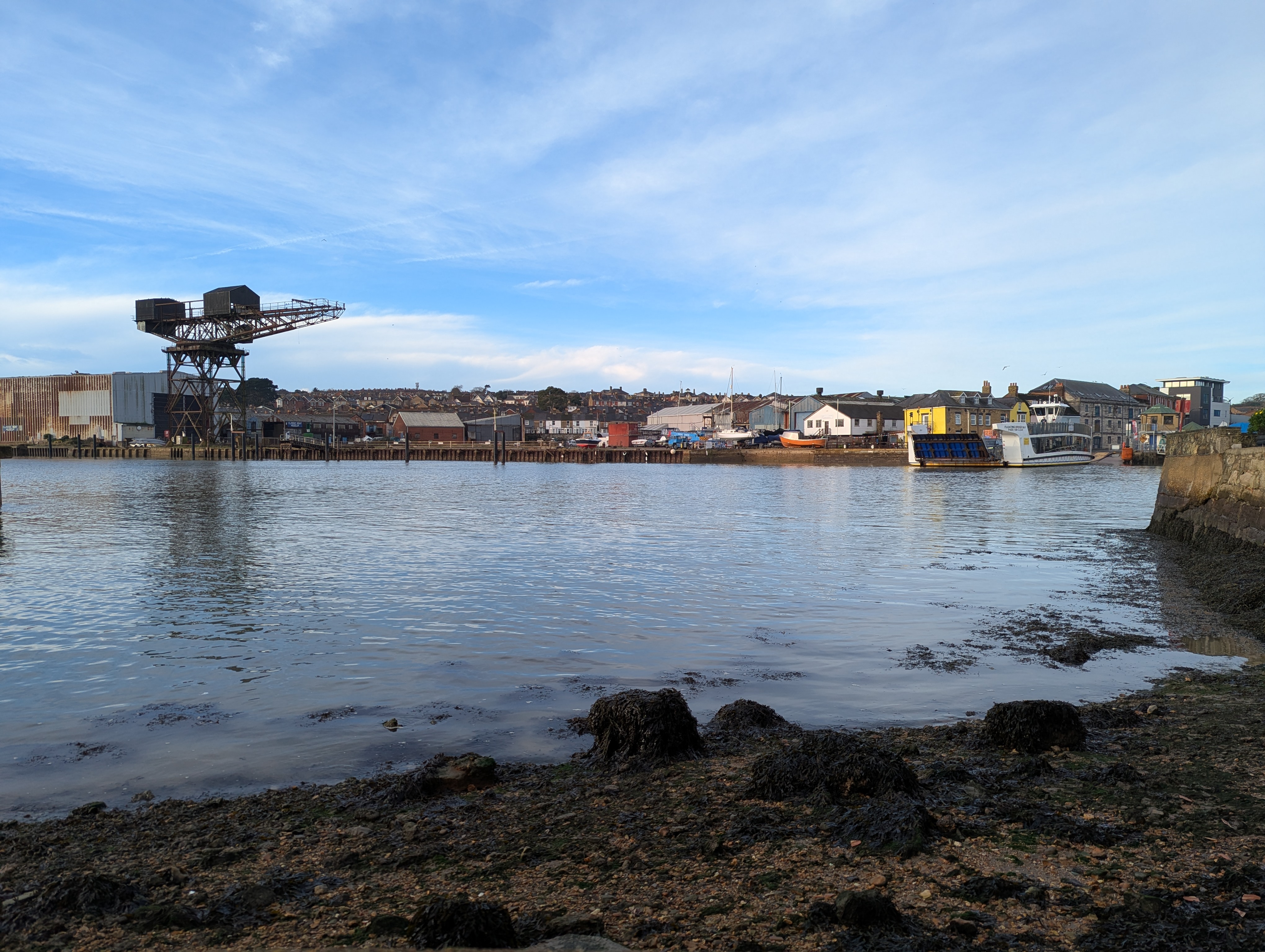
I arrived in East Cowes just before 1000 and then went to my next ferry, the ill fated Floating Bridge (aka Wonky Banger) over the River Medina (Figure 4). Once I was in West Cowes the walk began properly. Due to daylight constraints, I decide to cut through the town rather than around the coast by Gurnard, but ironically then discovered just after Gurnard that the cliff path was closed over Thorness Bay and I had to head back inland. However this led to my first encounter with a red squirrel during the diversion (Figure 6) .
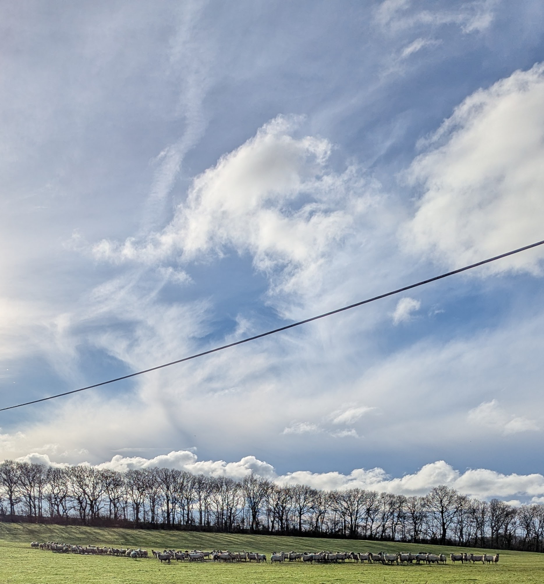
It was about 1140 by the time I got to Thorness Bay, so I stopped there for about 15 minutes to drink my coffee and eat my almond croissant (Figure 7). When I got to the end of the beach I discovered the footpath had eroded into the sea and I had to go inland once more and back on the road. The light was very nice and I saw lots of sheep (Figure 8).
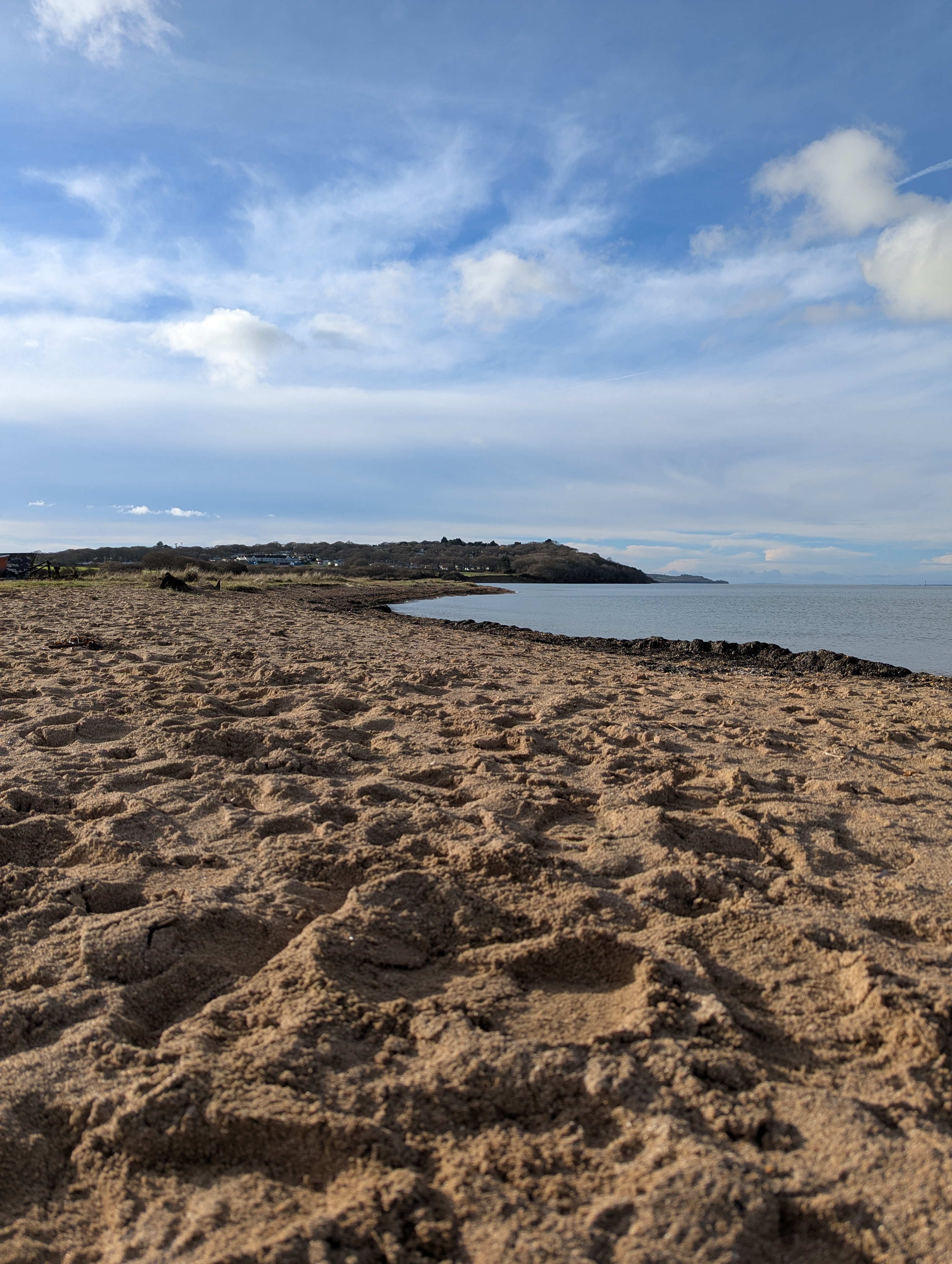
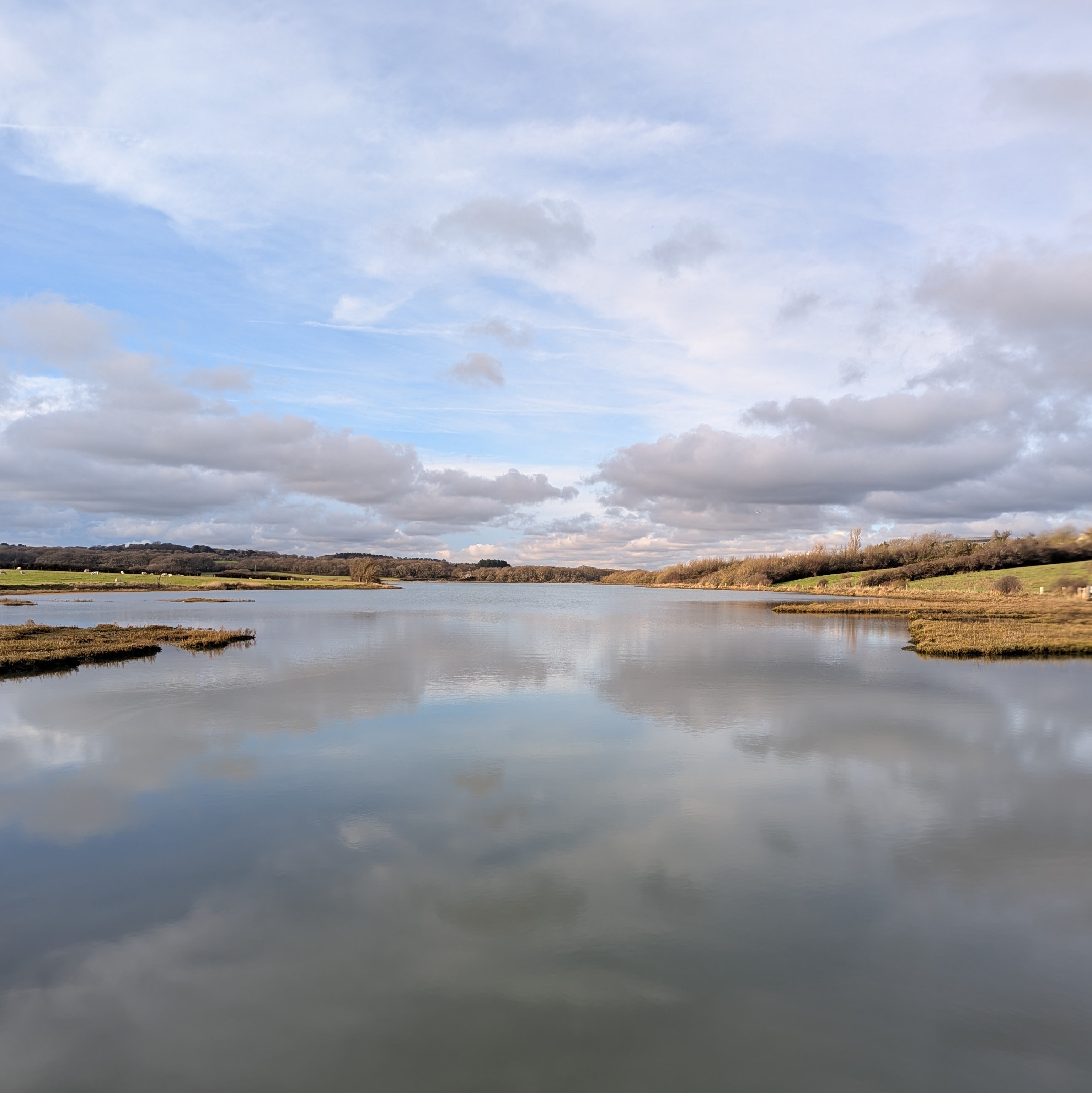
It was a bit of a slog from there around the area that the Armed Forces use as a firing range to the Newtown River (Figure 9). I walked most of the way in a T-shirt. The fields and footpaths were so flooded and muddy, I had to use sticks to avoid falling over or overtopping my waterproof trainers, which made for slow going. Otherwise I was on the road which is quicker, but meant having to concentrate as there is no pavement on most stretches and not all drivers are considerate.
Out of Shalfleet I was finally getting back to the coast itself, and I saw another red squirrel (Figure 10).

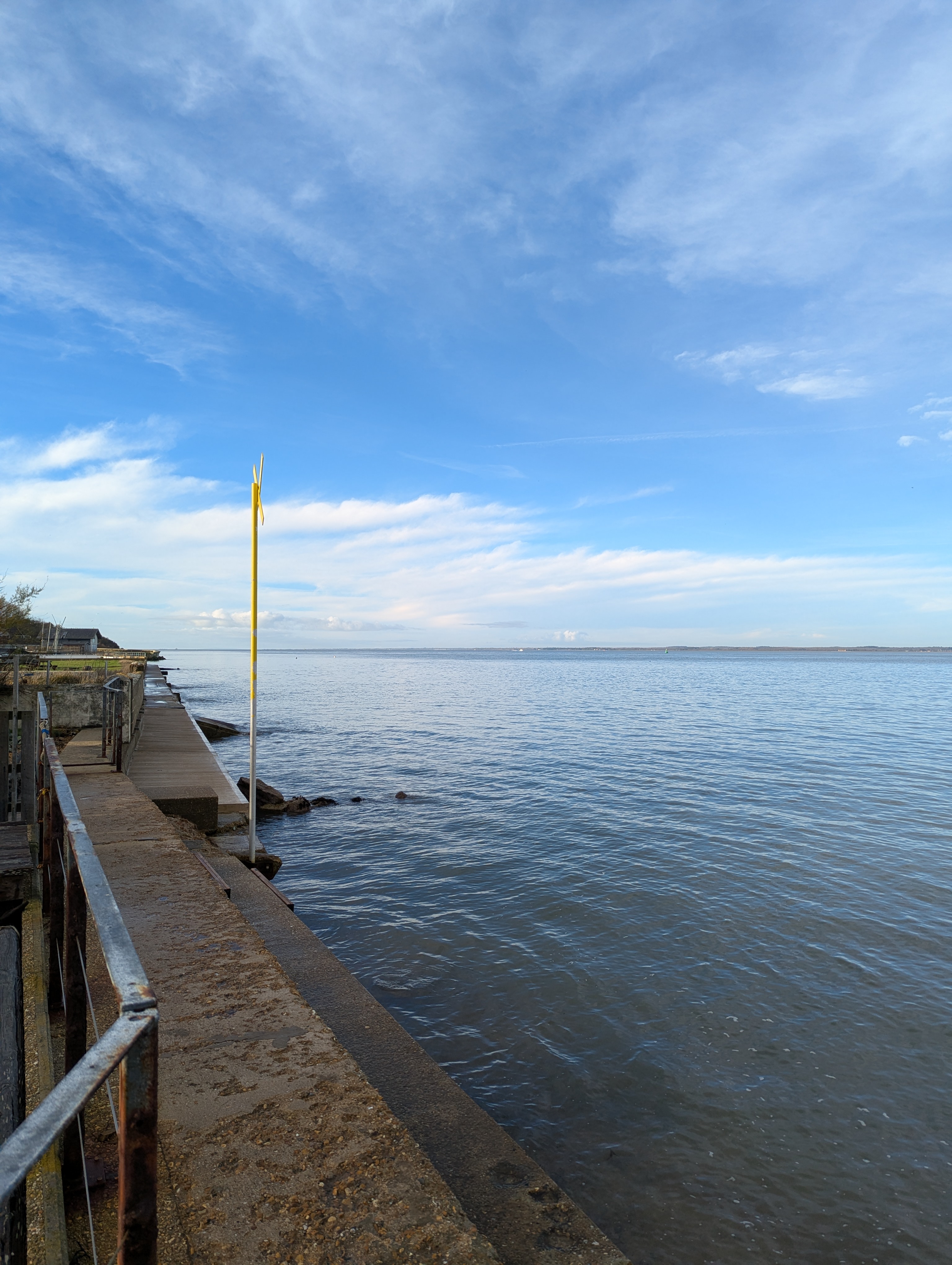
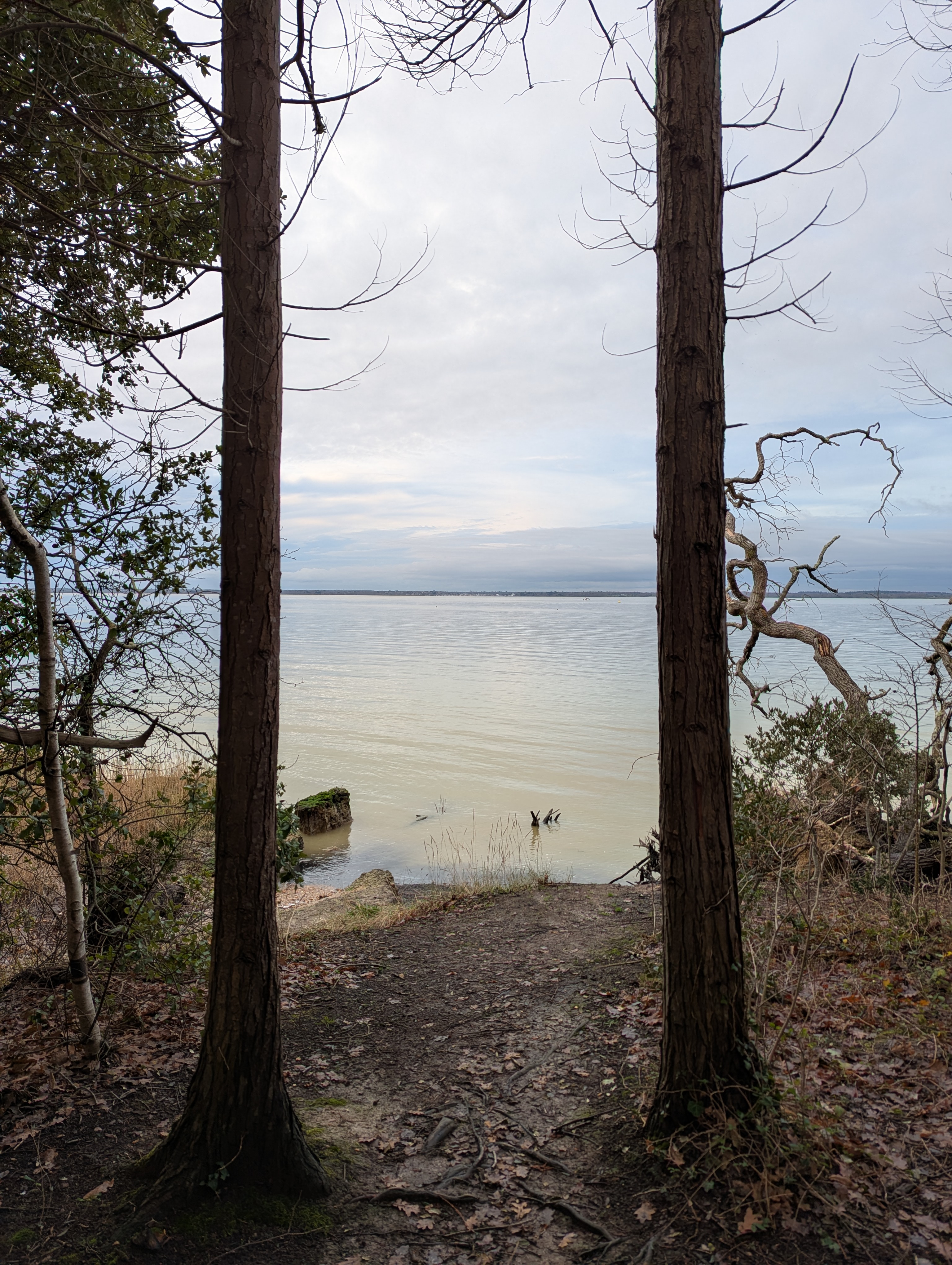
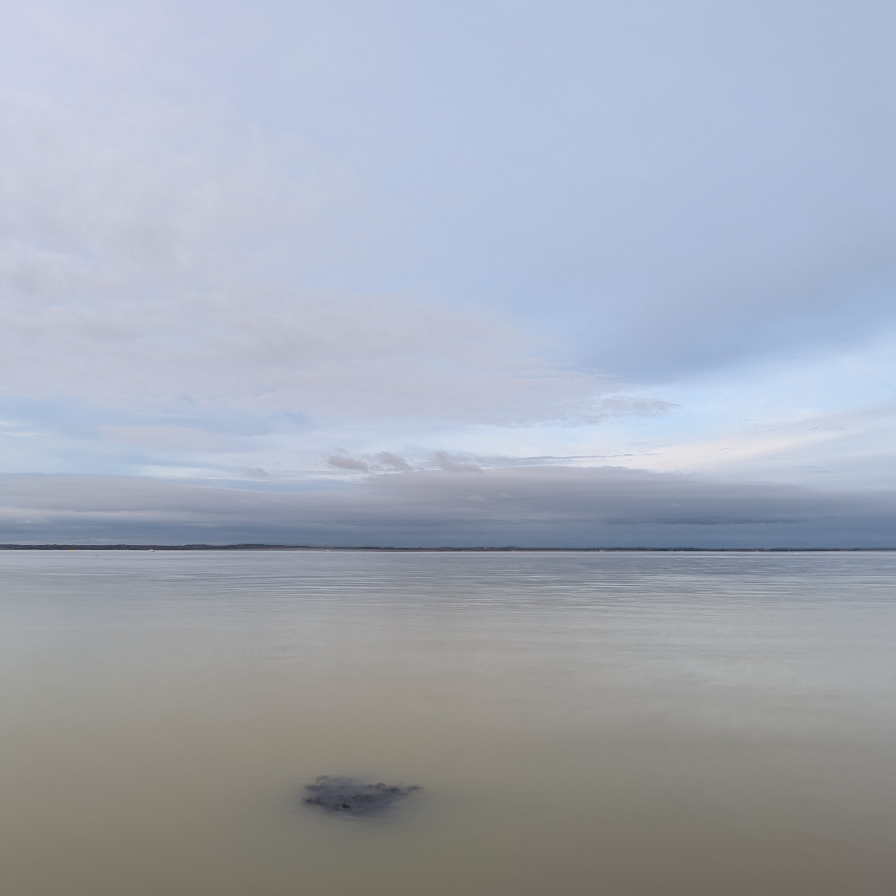
The final stretch down to Yarmouth along Bouldnor Cliff was very muddy, wet and eroded, but I did get some lovely views even as the clouds returned (Figure 11, Figure 12, Figure 13). As you can see it was still and peaceful and the light was luminous.

I arrived just in time for the 1605 WightLink sailing to Lymington (£18) and was treated to an amazing sunset from the ferry as it crossed (Figure 14, Figure 15) as I finally ate my lunch. I do wonder if there is ever a crossing where there are no car alarms going off?
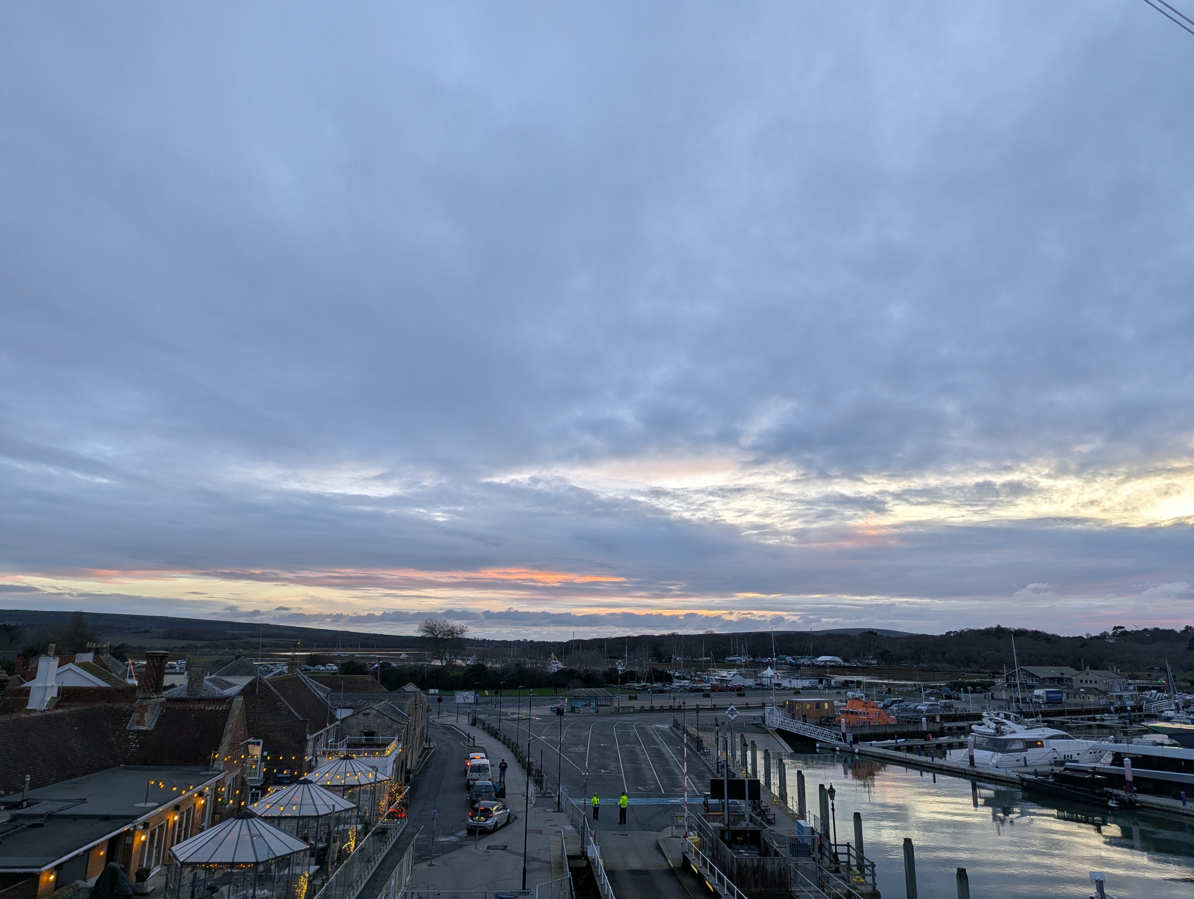
I got the train back to Southampton from Lymington Pier (£7.60) (Figure 16) and walked home in the dark. Overall mileage for the day was about 31 km/18 miles.

Citation
@online{bailey2025,
  author = {Bailey, Alistair},
  title = {Walking from {Cowes} to {Yarmouth} on the {Isle} of {Wight}},
  date = {2025-12-22},
  url = {https://ab604.uk/blog/2025-12-22-IOW/},
  langid = {en}
}