Yarmouth to Freshwater

walks
Author
Published

Last Updated on 2026-11-21

Saturday 21st November 2026

Visiting Dawlish almost every week for the last four years meant I got to see the sea, but my last three walks have all been inland and I needed to get back to the sea. A common misconception is that Southampton is a seaside city - not helped by the use of the marketing line Sea City - but it’s actually about 10 km inland.

Anyhow, I decided to head across the Solent to the Isle of Wight and continue walking the coastal path from Yarmouth where I left off last December when I walked from Cowes to Yarmouth.

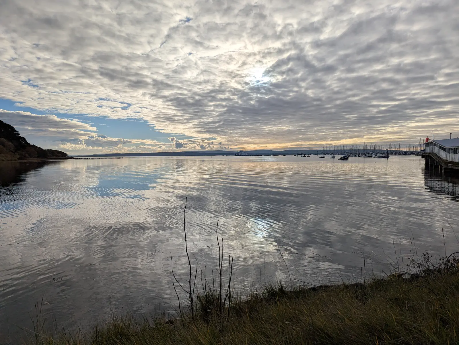
I left home about 0800 and got the train from Southampton Central to Lymington Pier to catch the 1000 ferry to Yarmouth. It was pretty chilly, but dry and sunny and the Solent was flat as a millpond (Figure 2). I’ve been very lucky with the weather so far this autumn (Figure 13).

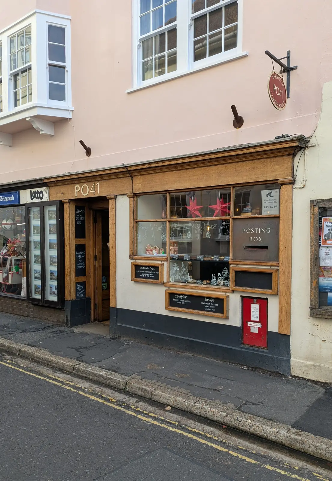
I’m usually pretty self-sufficient for food and drink, but in a nod to the “use it or lose it” theory about having nice things, I’m trying to make a point of spending at least a little money wherever I go. Not in a do-gooding hair shirt way, but if I see something nice, then it’s nice to support it. This time it was PO41 coffee shop (Figure 7) where I got a decent coffee and a bit of caramel apple cake. The cake I ate whilst waiting for the ferry back as the sun was starting to set. The coffee and cake cost £8. I have a speciality coffee subscription that costs me about £0.70 a cup of top quality coffee, and I can buy a pastry from Lidl for £1. It’s quite a differential, and whilst I can afford it, I am torn between the fact I can make/buy/bring something just as nice and wanting to live in a world with nice things and people to have employment, even if it’s a stepping stone job and my personal contribution is very small.

The route I plotted follows the coastal path, but as anyone who’s walked the IoW coastal path knows, there’s a lot of erosion and landslips - the joke being that in 10 years it’ll be the Isle of W - and so re-routing is common (Figure 27), and the other common gripe is that much of the path is more coast-adjacent than actually on the coast. But this was a nicer stretch than Cowes to Yarmouth, although I didn’t see any red squirrels this time.

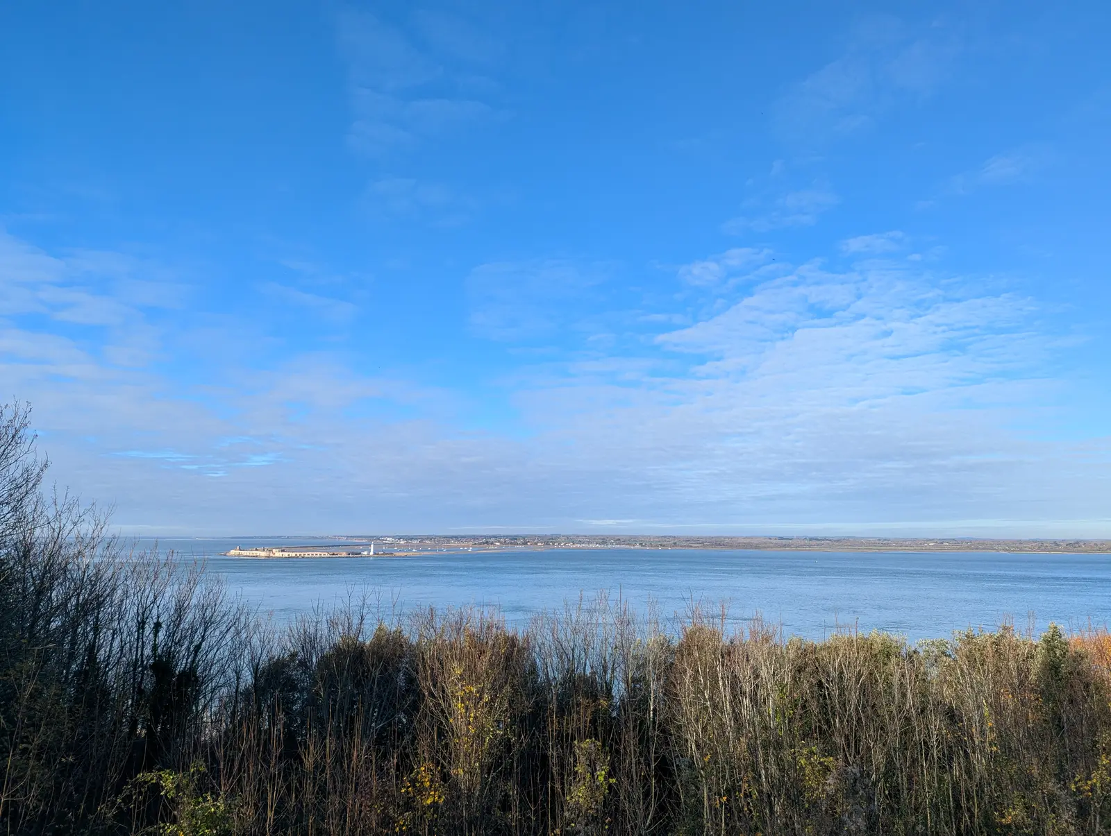
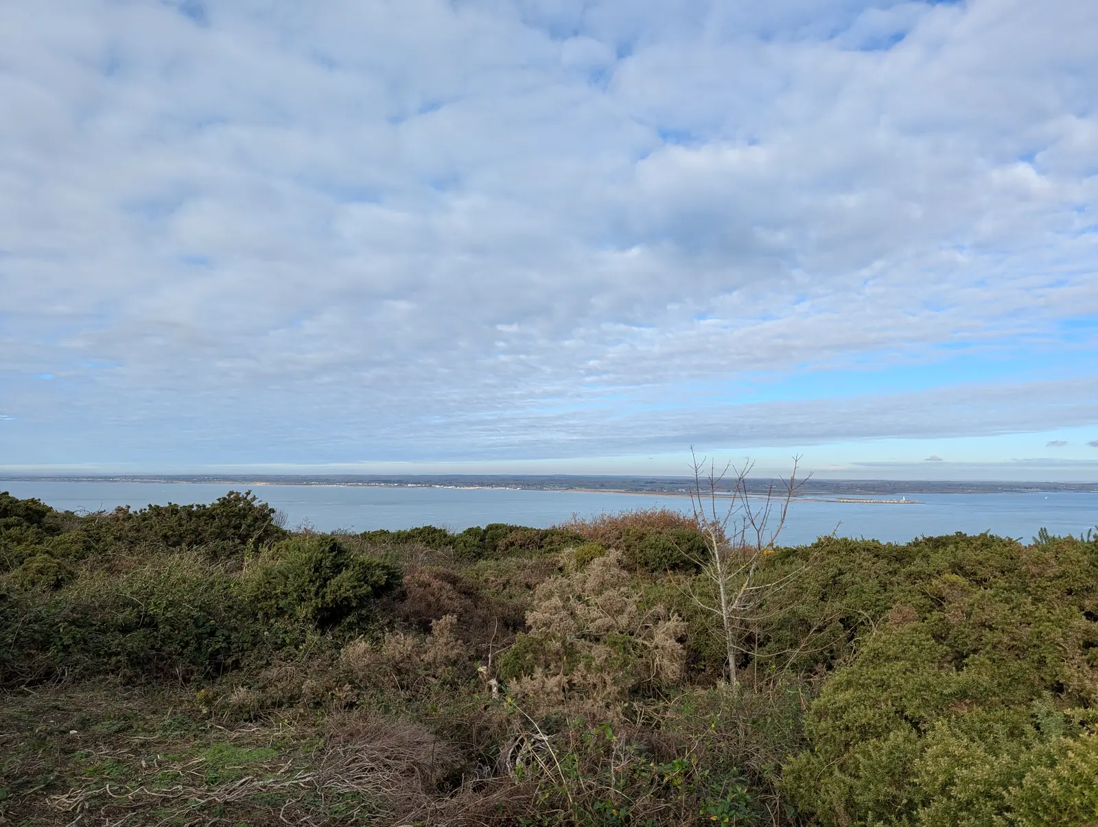
I started walking at about 1040. The route starts off pretty gentle for the first hour or so, with a view back to Hurst Castle from near Fort Albert (Figure 15). But once one gets out of Totland Bay (Figure 25), it is very up and down and by lunchtime I was pretty hot. I stopped on a bench overlooking the Needles (Figure 31) before going down and back up past Alum Bay (Figure 35), around the Needles and down and back up to the Tennyson Monument (Figure 37), and then the final descent to Freshwater Bay (Figure 42). I walked up to the bus stop at School Green Road by Stroud Recreation Ground to get the number 7 bus back to Yarmouth at 1511. It’s about an hour extra walking to follow the Freshwater Way to Yarmouth, which I might do another time.

I got the 1605 ferry back to Lymington and got home at 1800. The plotted route was 17.5 km (10.9 miles), but I walked closer to 21 km (13 miles).

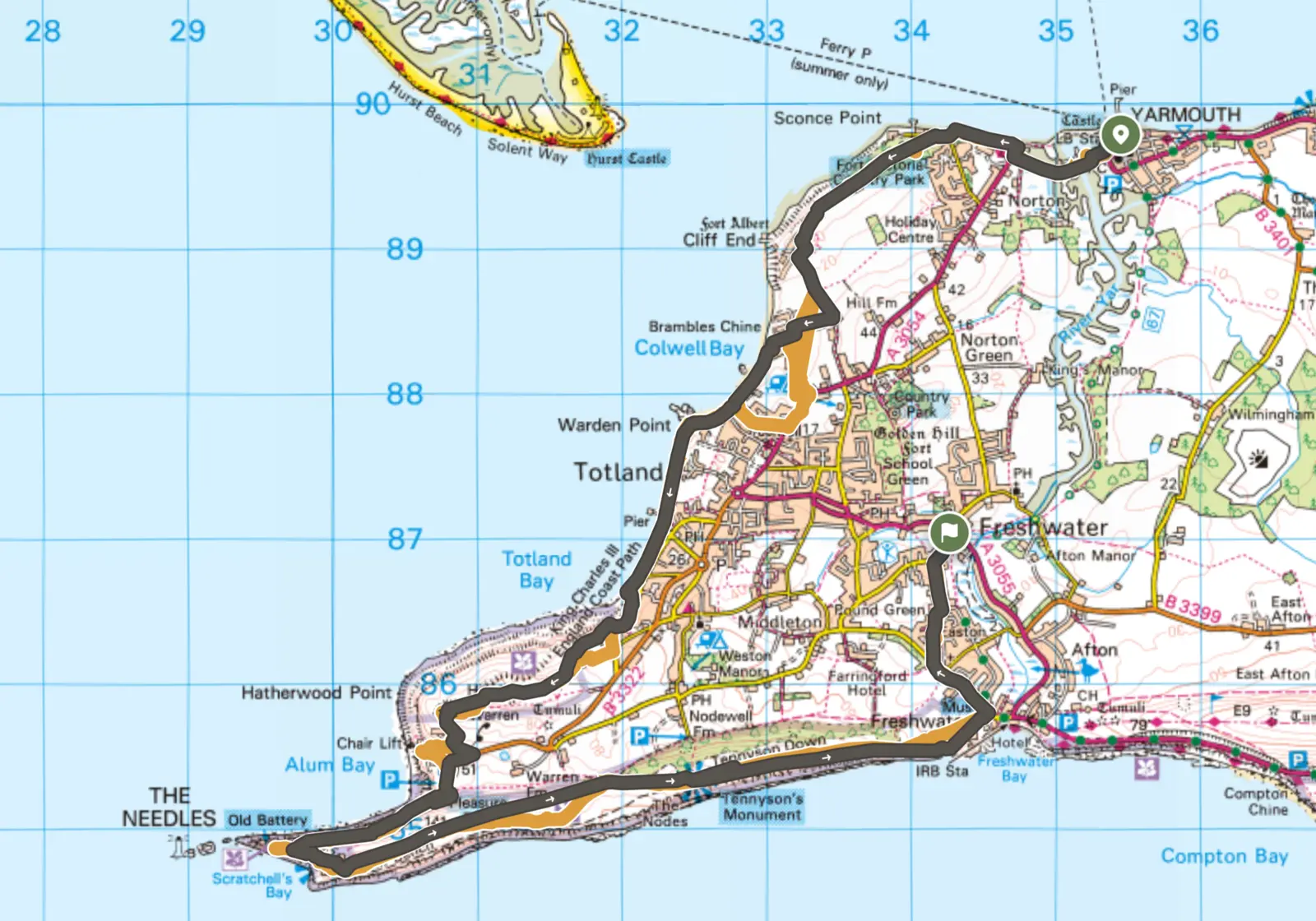
OS Maps Yarmouth to Freshwater
Download the GPX file

Ordnance Survey map of the route on the western tip of the Isle of Wight. It starts at Yarmouth, heads west along the coast past Fort Victoria and Fort Albert, then south along Colwell Bay and Totland Bay. It crosses Headon Warren to Alum Bay and the Needles, then turns east along the clifftops over Tennyson Down to Freshwater Bay, and finishes by heading north to Freshwater.
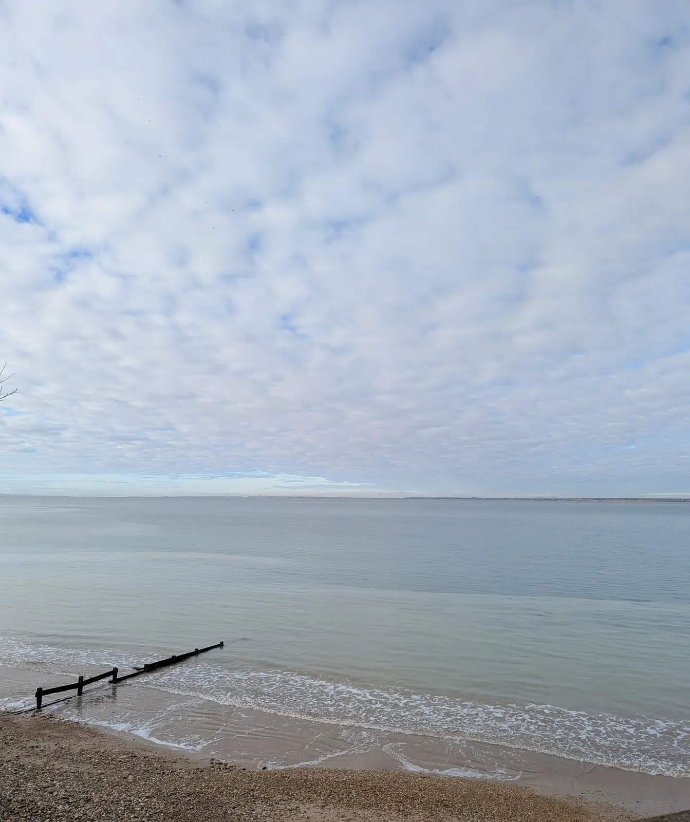
Figure 1: Map of route from Yarmouth to Freshwater. Grey is the plotted route, with the orange showing where I deviated from the route. Although my phone lost the GPS signal briefly near Brambles Chine and may have added some bits I didn’t do. My Garmin watch recorded 27 km (16.7 miles) by the time I was home.
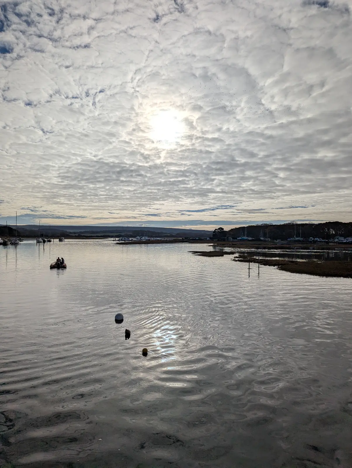
A wide, calm river reflecting a sky full of rippled grey and white cloud with a bright patch of sun, with moored boats and a pier in the distance and grasses on the near bank.
Figure 2: Morning on the Lymington River, waiting for the ferry.
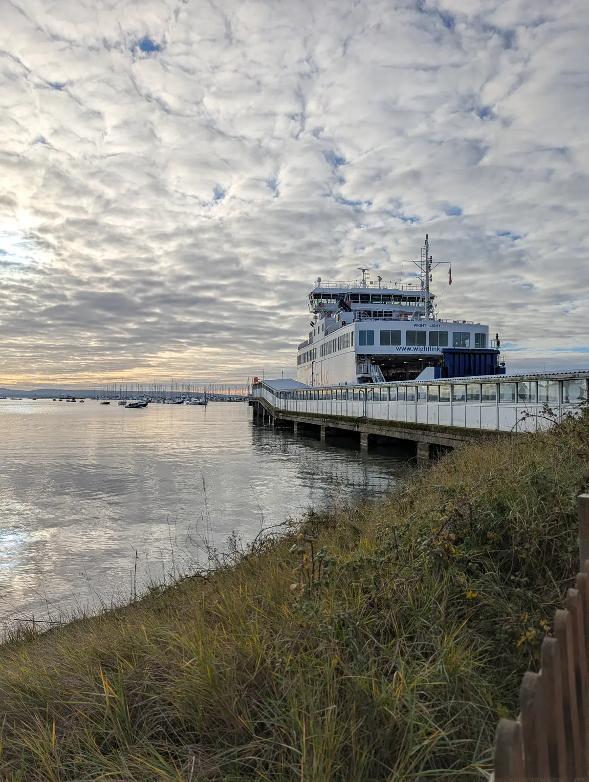
A large white and blue car ferry moored at the end of a long covered walkway on stilts, under a sky of rippled cloud, with a grassy bank and wooden fence in the foreground.
Figure 3: The Wightlink ferry at Lymington Pier.
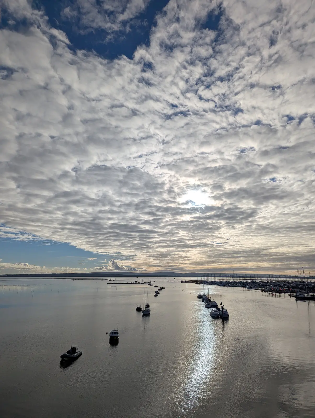
A high view over still, silvery water dotted with small moored boats, under a vast sky of white cloud with the sun shining through and lighting a path on the water.
Figure 4: Looking down the river from the ferry.
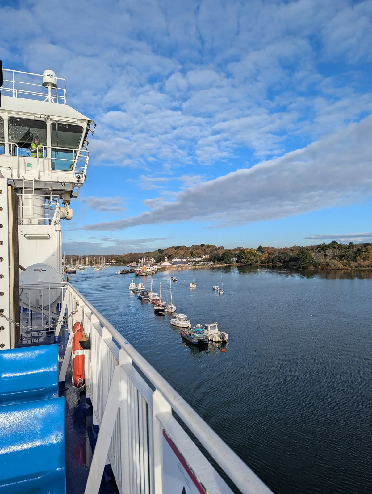
View from the deck of the ferry, with the white bridge and a crew member on the left, looking down a river lined with moored motorboats and wooded banks under a blue sky with streaks of cloud.
Figure 5: Looking back towards Lymington Pier past the moorings.
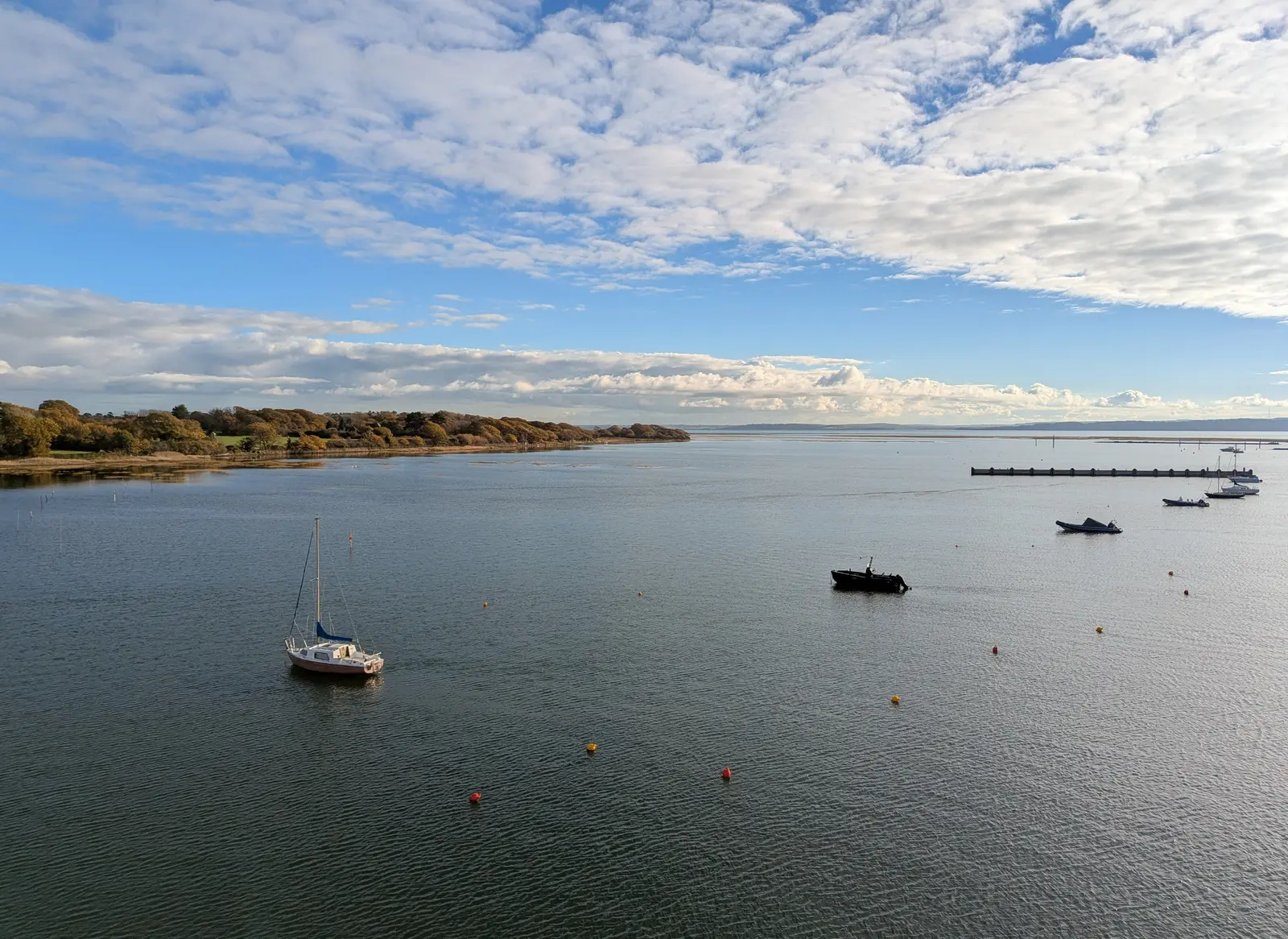
A broad, calm estuary with a small yacht and a few motorboats at anchor, red and yellow mooring buoys, a wooded shore on the left and a long jetty on the right, under blue sky and white cloud.
Figure 6: Out towards the mouth of the river and into the Solent.
A small shopfront with wooden window frames and the sign PO41, red paper stars in the window, a red posting box set into the front and a pink-painted building above, on a narrow street with yellow lines.
Figure 7: PO41 coffee, named after Yarmouth’s postcode. It was busy and tiny, so I bought a good coffee and piece of caramel and apple cake to take away. Can recommend.
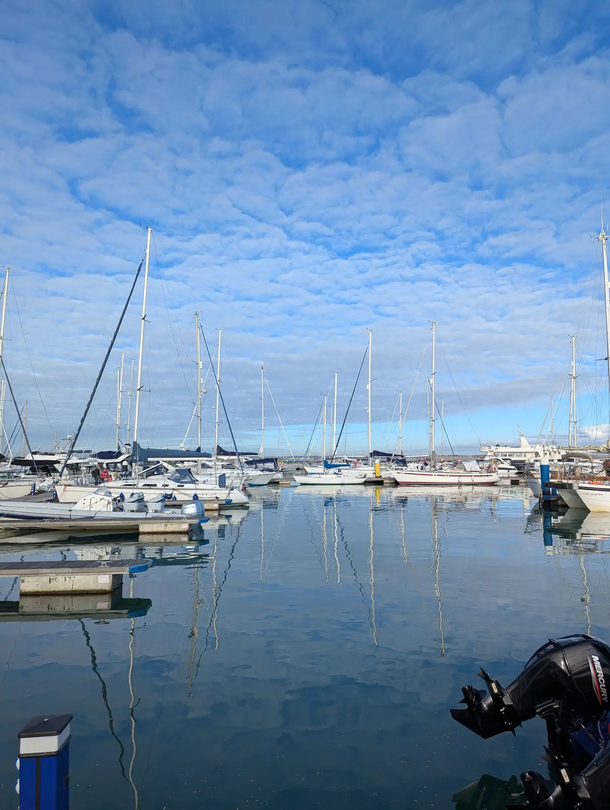
Rows of white yachts with tall masts moored in a marina, their masts reflected in the still water, under a blue sky filled with small fluffy clouds.
Figure 8: Yachts in Yarmouth Harbour.
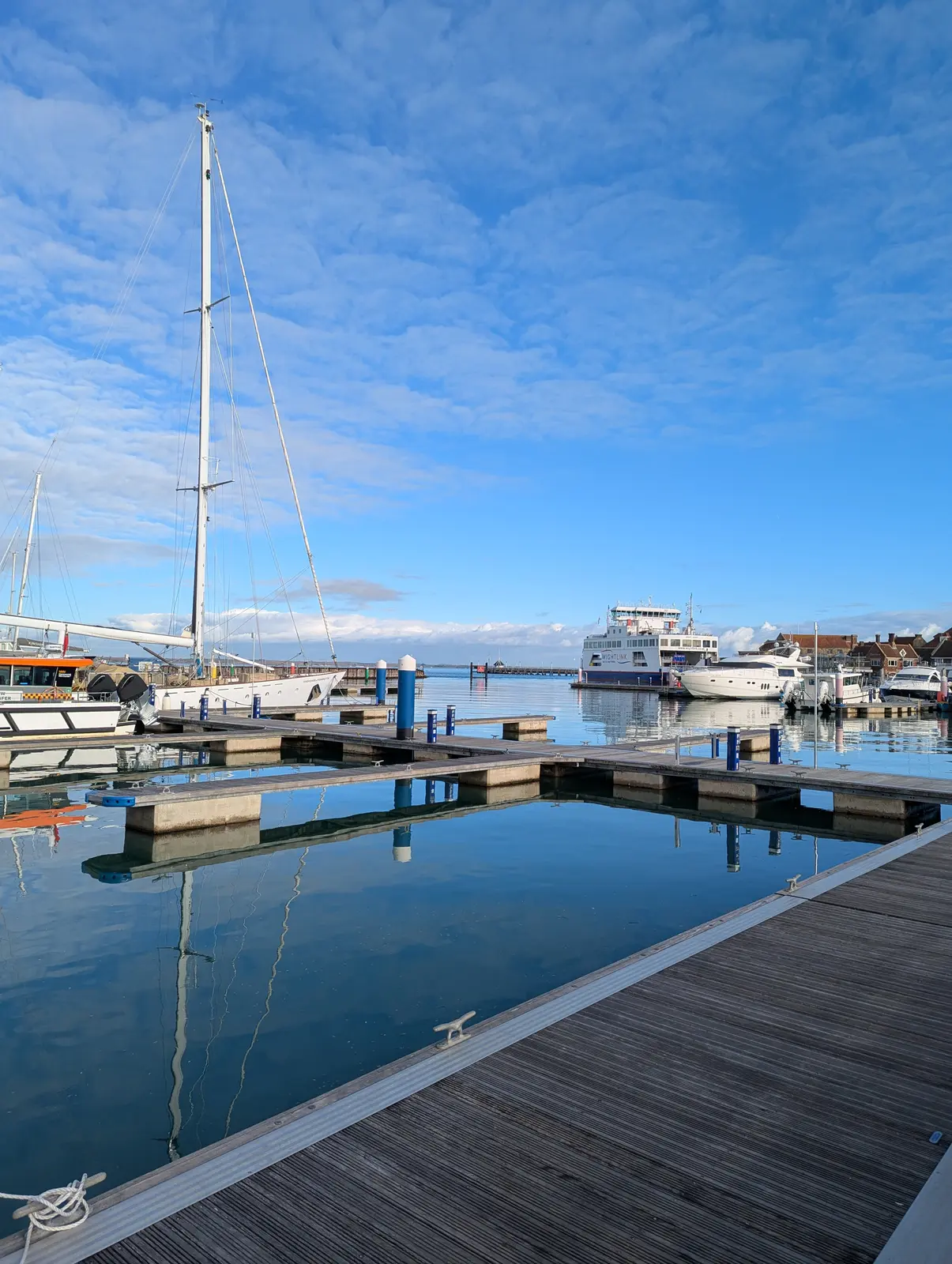
Empty wooden pontoons in still blue water lead the eye to a large white ferry and moored motor yachts, with the mast of a yacht on the left and a blue sky with thin cloud.
Figure 9: The ferry from the pontoons in Yarmouth Harbour.
A calm, wide river estuary with a small dinghy and buoys, mudflats and a wooded shore on the right, under a sky of rippled cloud with a hazy sun.
Figure 10: The River Yar from Yarmouth. In the distance is Tennyson Down where I’m heading.
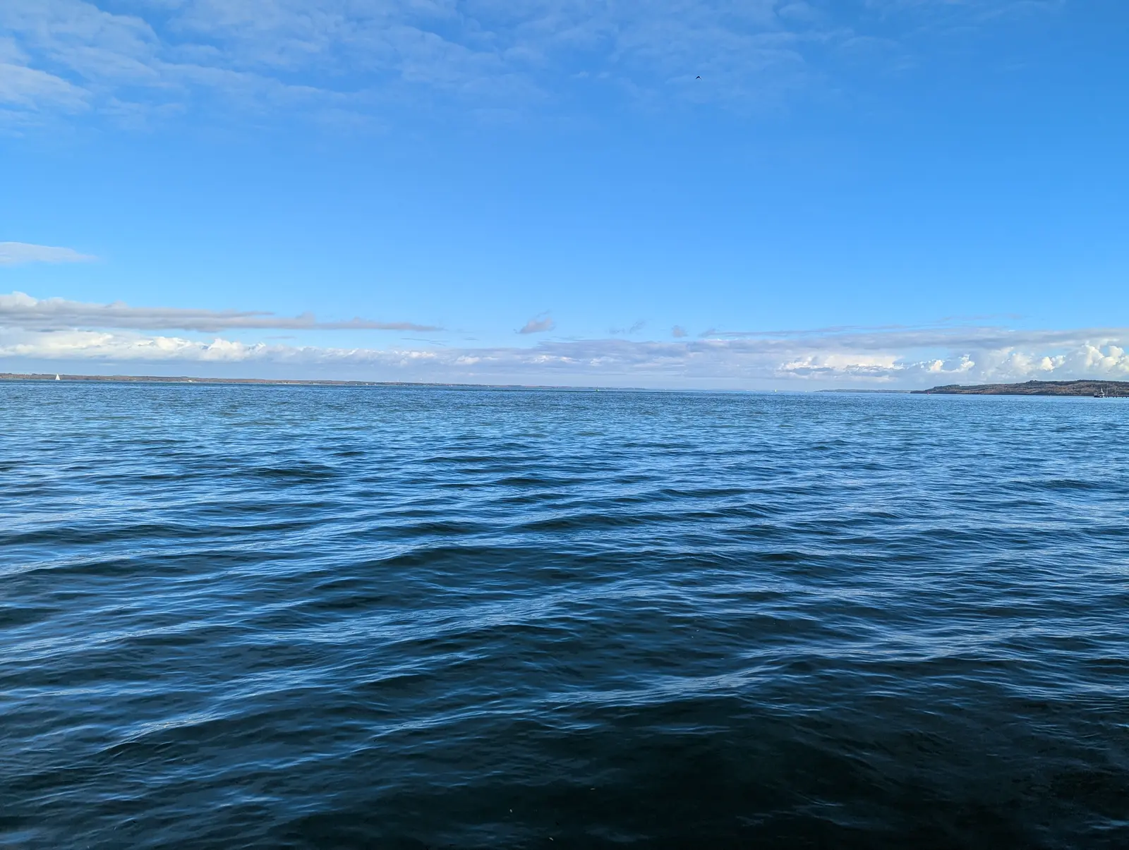
Choppy dark blue water filling the lower half of the frame, with a low line of distant coast on the horizon and a bright blue sky with thin white cloud.
Figure 11: The Solent from Yarmouth.
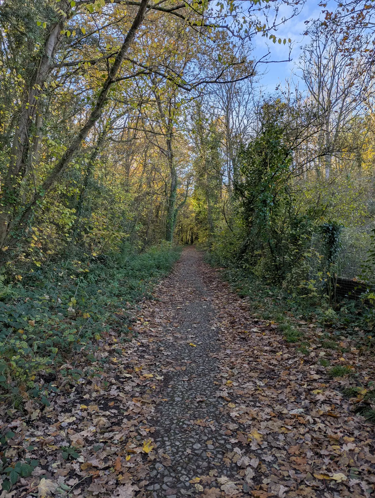
A narrow path covered in fallen brown leaves runs straight through woodland of slender trees with yellow and green leaves, and a fence on the right.
Figure 12: The path through the woods heading west out of Yarmouth.
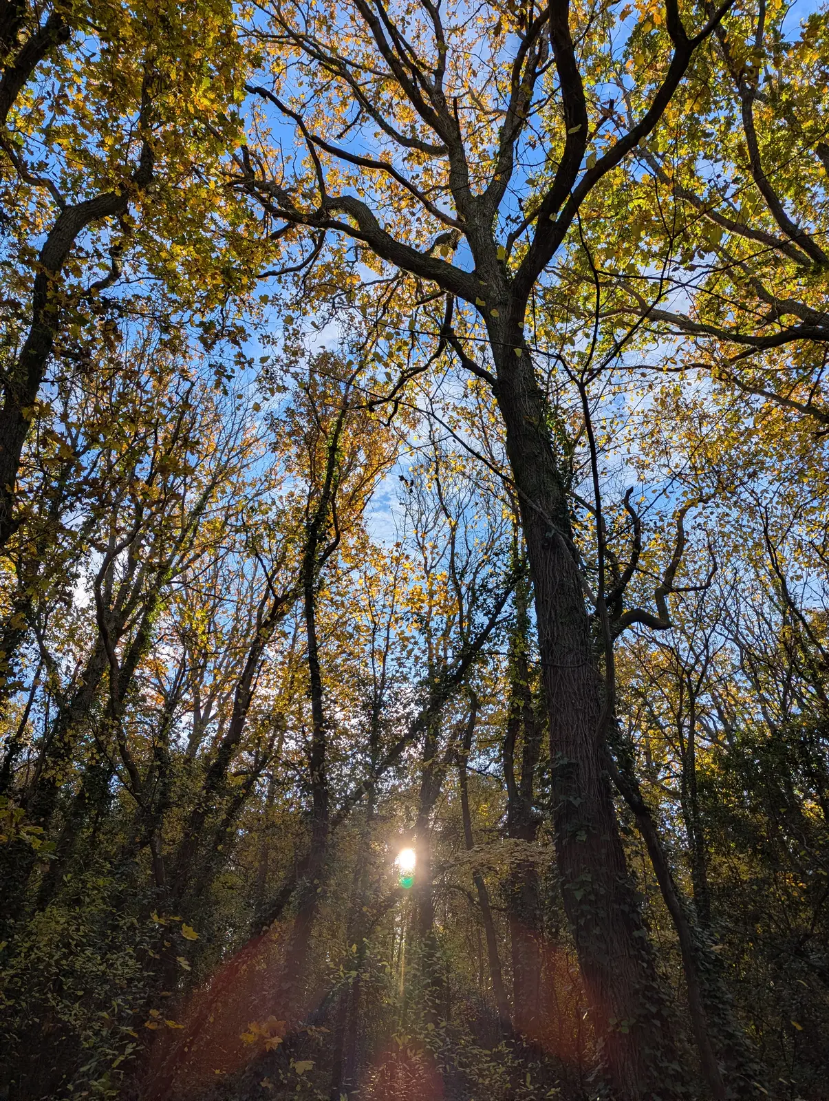
Looking up into tall trees with yellow autumn leaves against a blue sky, with the sun shining through a gap low in the trunks and a lens flare.
Figure 13: Sun through the trees.
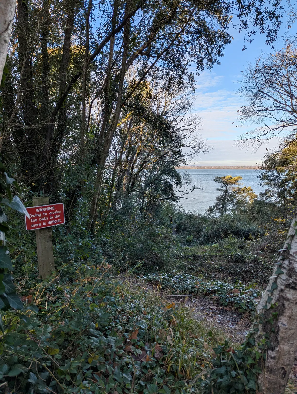
A red sign on a wooden post reading Warning, owing to erosion the path to the shore is difficult, beside a path through ivy and trees that opens onto a view of the sea.
Figure 14: Erosion warning on the path to the shore. The Solent reappears as I head up through the wood above Fort Victoria.
A wide blue sky over calm water, with a long, low shingle spit on the far side ending in a castle and a small white lighthouse, and bare scrub in the foreground.
Figure 15: Looking across the Solent to Hurst Castle and its lighthouse at the end of the spit.
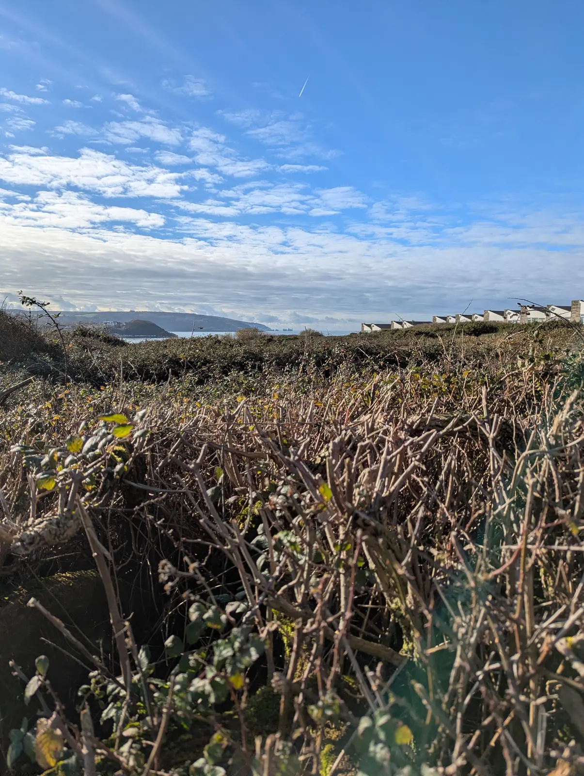
A low view through a tangle of bare bramble stems towards a distant headland and the sea, with a row of white chalets on the right and a blue sky with wispy cloud.
Figure 16: First glimpse of the Needles, looking west along the coast above the holiday park.
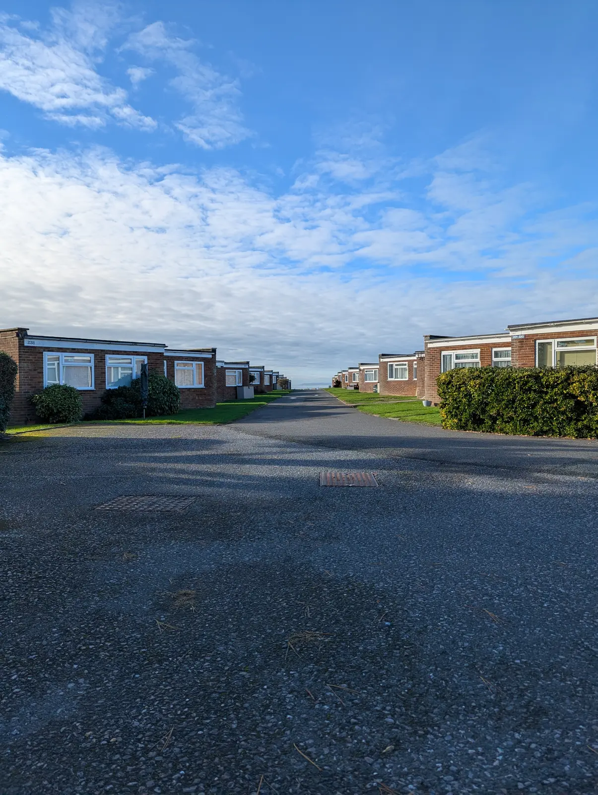
Two rows of single-storey red-brick chalets with white windows face each other across a tarmac road and lawn that leads towards the sea, under a blue sky with white cloud.
Figure 17: Holiday chalets above Colwell Bay.
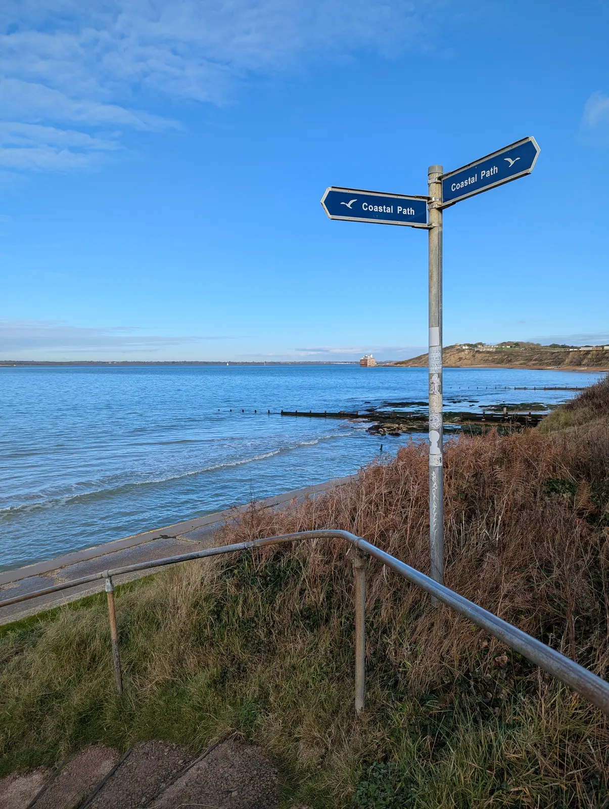
A blue fingerpost with two arms both reading Coastal Path, at the top of steps with a metal handrail above a curving beach and calm sea, with a fort on the water and cliffs in the distance.
Figure 18: Onto the coastal path at Colwell Bay, with Fort Albert out on the water.
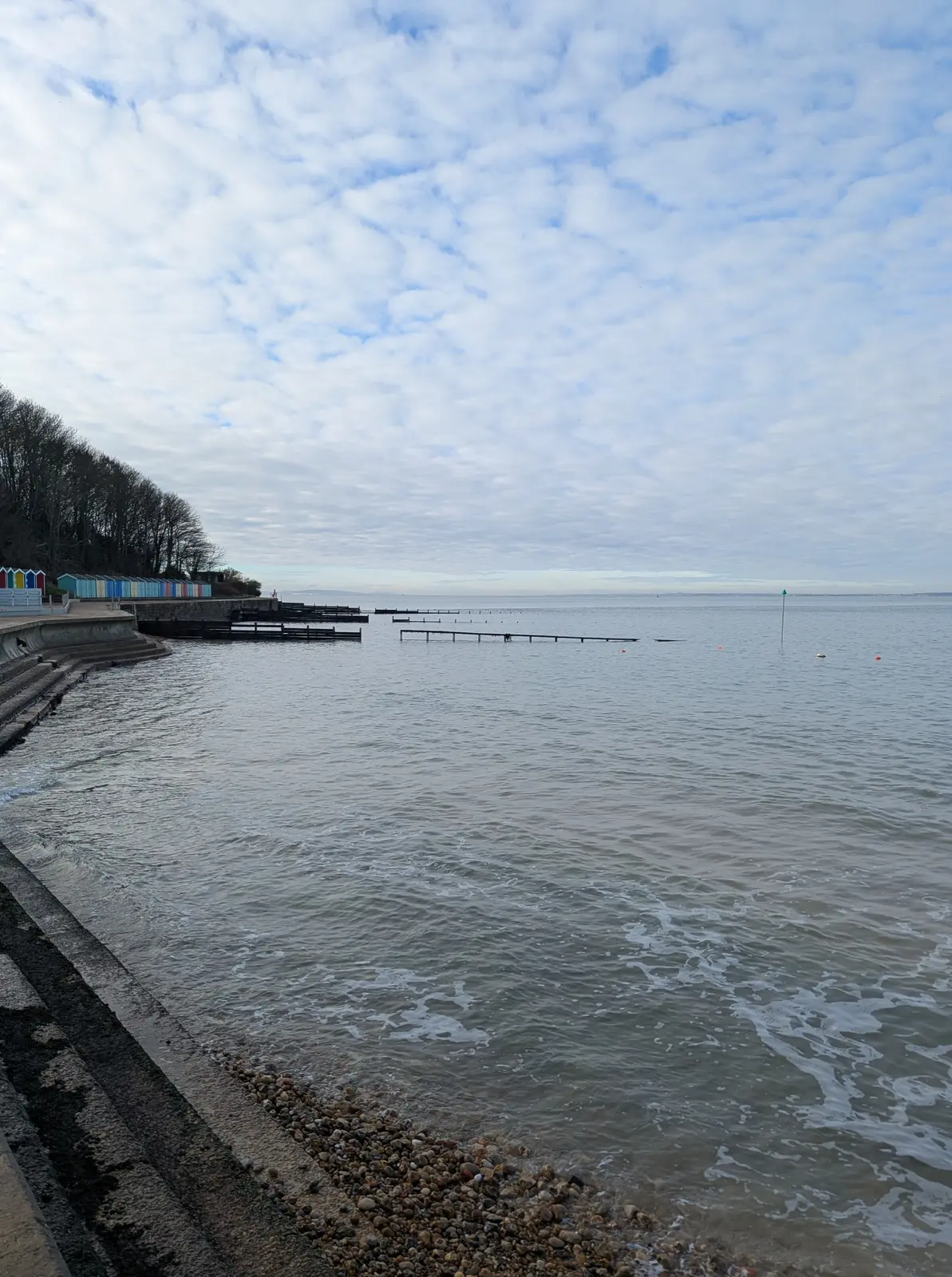
A concrete sea wall curves away beside calm grey water and a shingle beach, with a line of colourful beach huts beneath bare trees and wooden groynes reaching into the sea, under a mackerel sky.
Figure 19: The promenade at Colwell Bay.
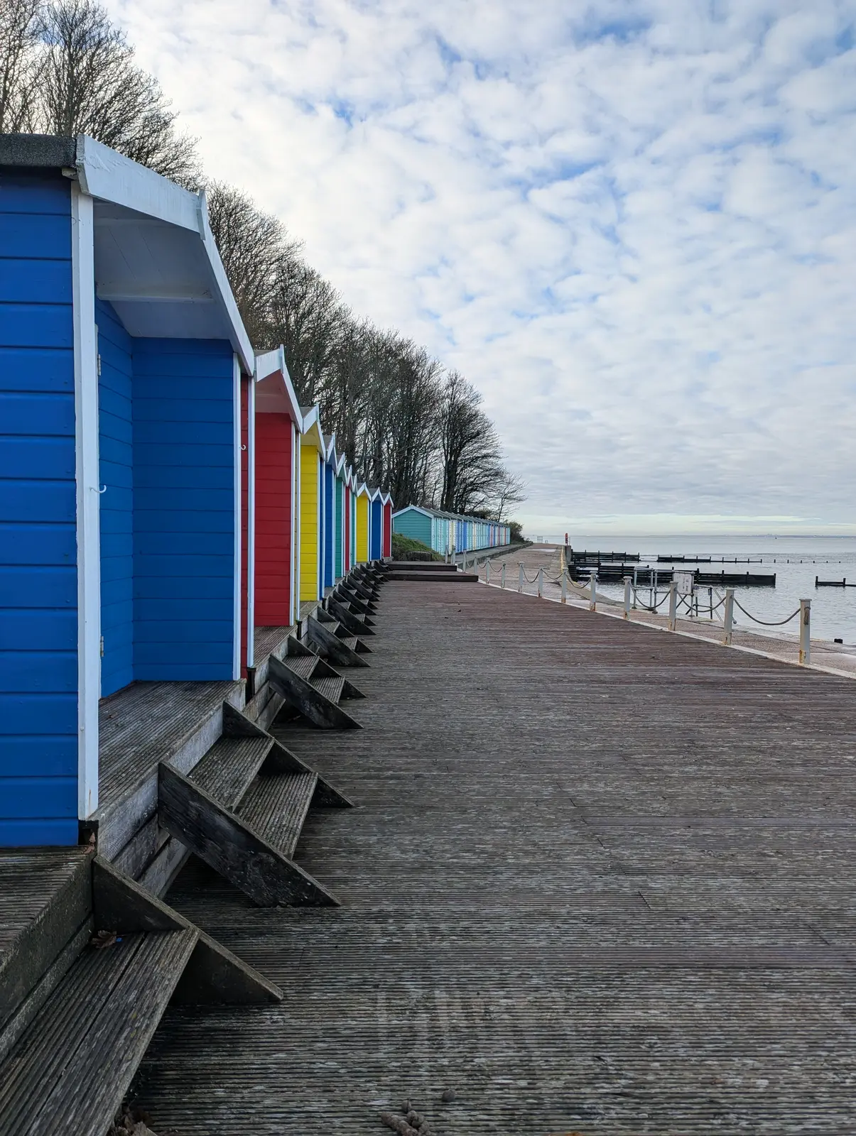
A row of wooden beach huts painted blue, red, yellow and teal along a wide wooden boardwalk, each with steps in front, with bare trees behind and the sea to the right.
Figure 20: Beach huts along the boardwalk.
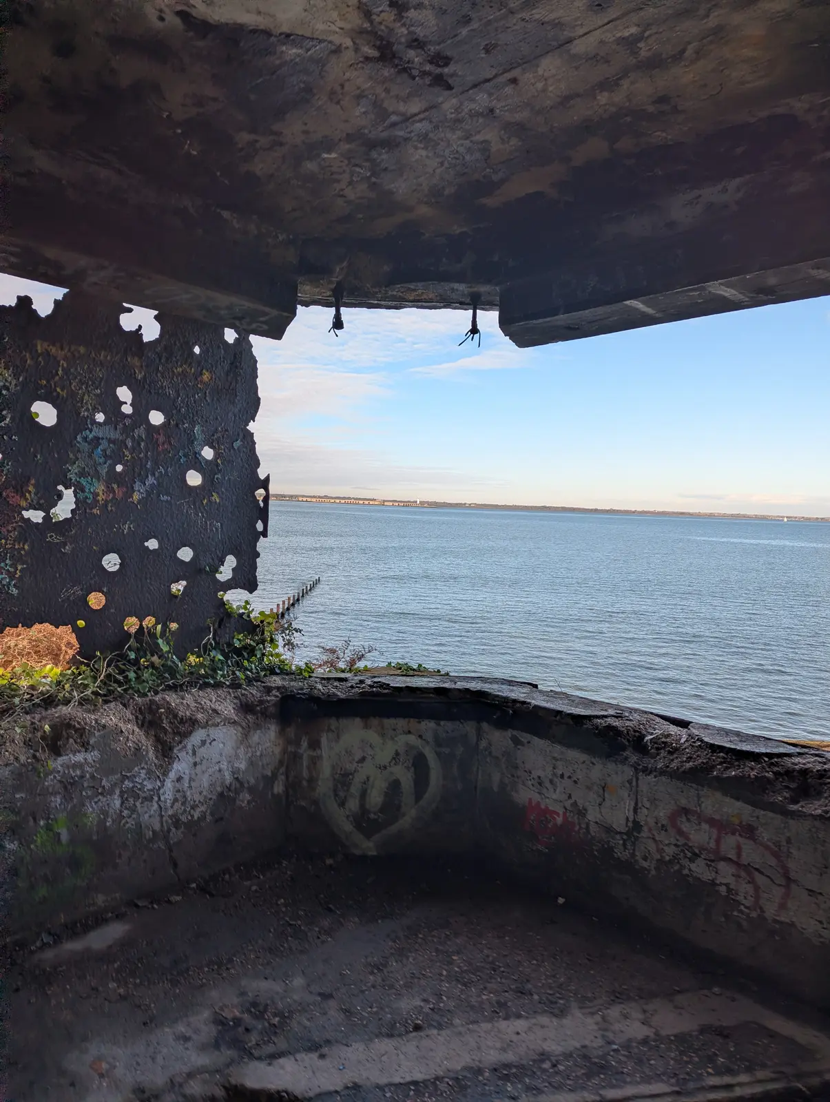
The view out from inside a crumbling concrete structure with graffiti on the walls and a heavy overhanging roof, looking across calm blue water to a low distant coastline.
Figure 21: Inside an old gun emplacement at Colwell Bay, looking out over the Solent.
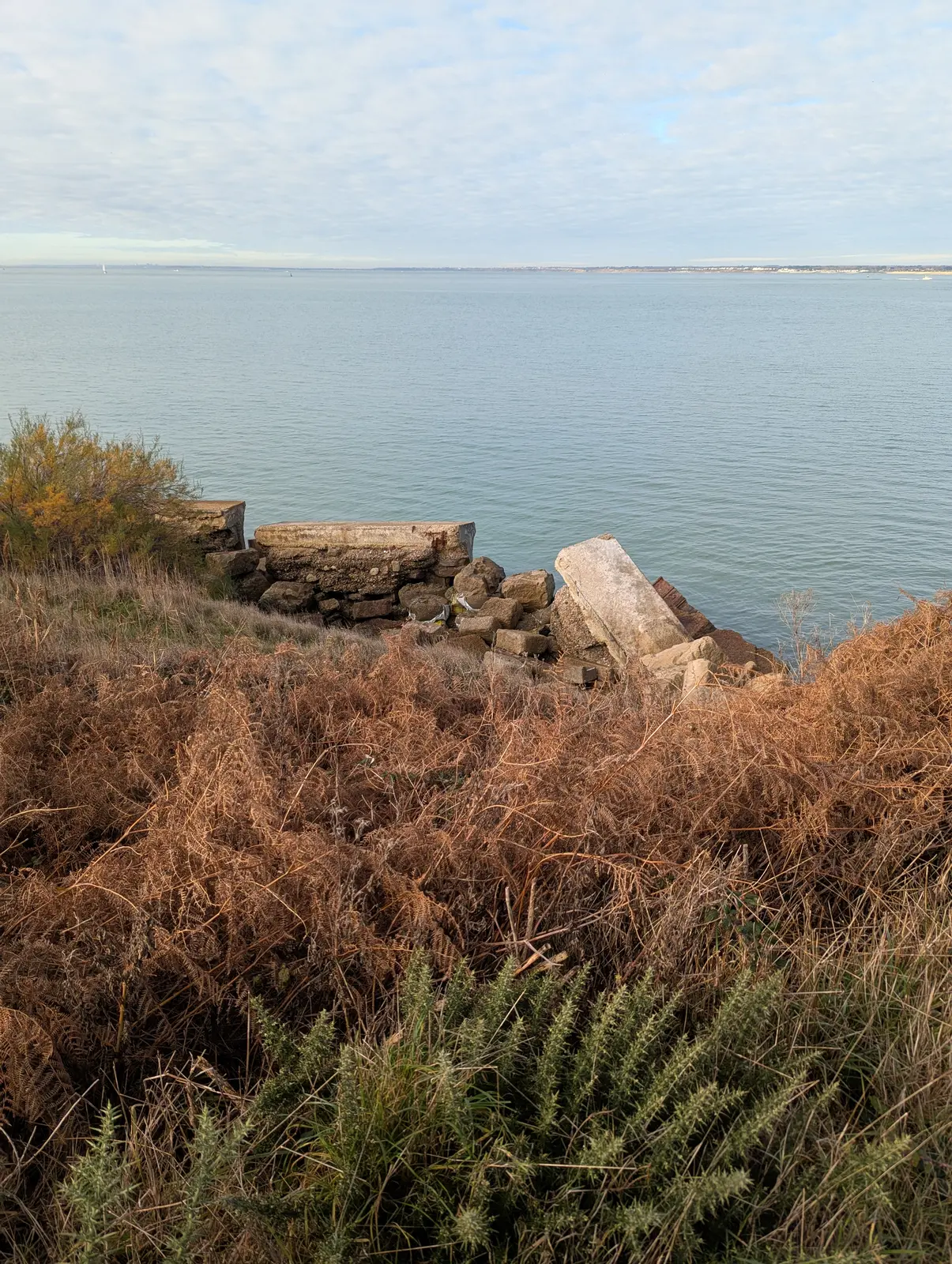
Slabs and blocks of collapsed concrete and stone at the edge of a cliff above calm grey sea, with brown bracken and green gorse in the foreground.
Figure 22: Broken concrete from the original coastal path on the clifftop.
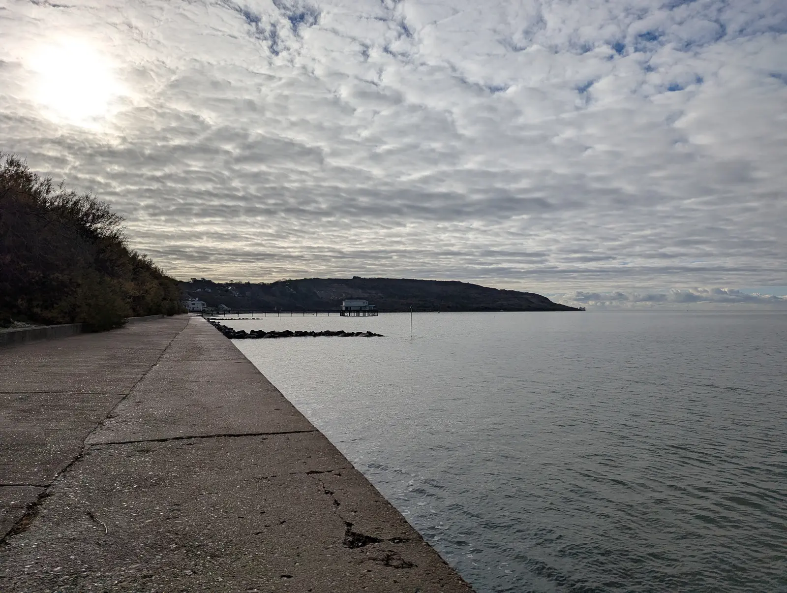
A long, cracked concrete sea wall runs alongside calm water towards a small pier and a dark, rounded hill on the headland, under a sky of rippled cloud with the sun breaking through.
Figure 23: The sea wall heading towards Totland, with Headon Warren beyond.
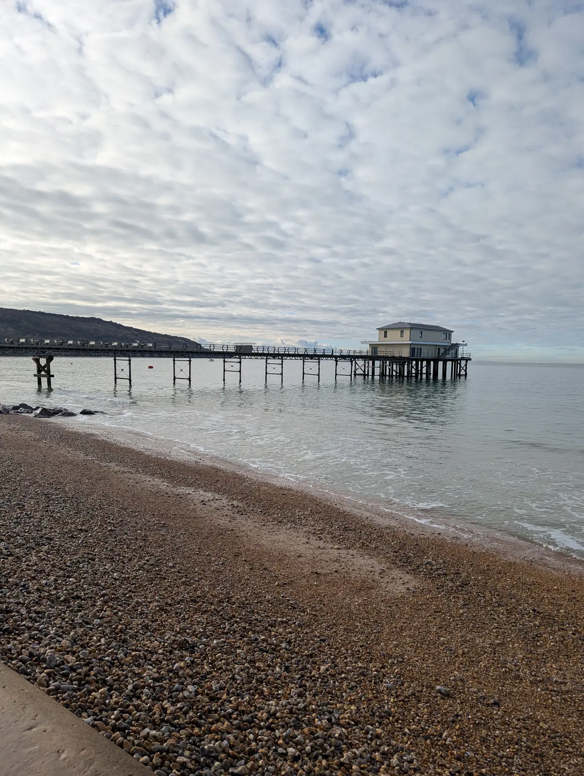
A long, narrow pier on spindly legs reaching out across calm water to a pale two-storey building at the end, seen from a shingle beach under a sky of rippled cloud.
Figure 24: Totland Pier.
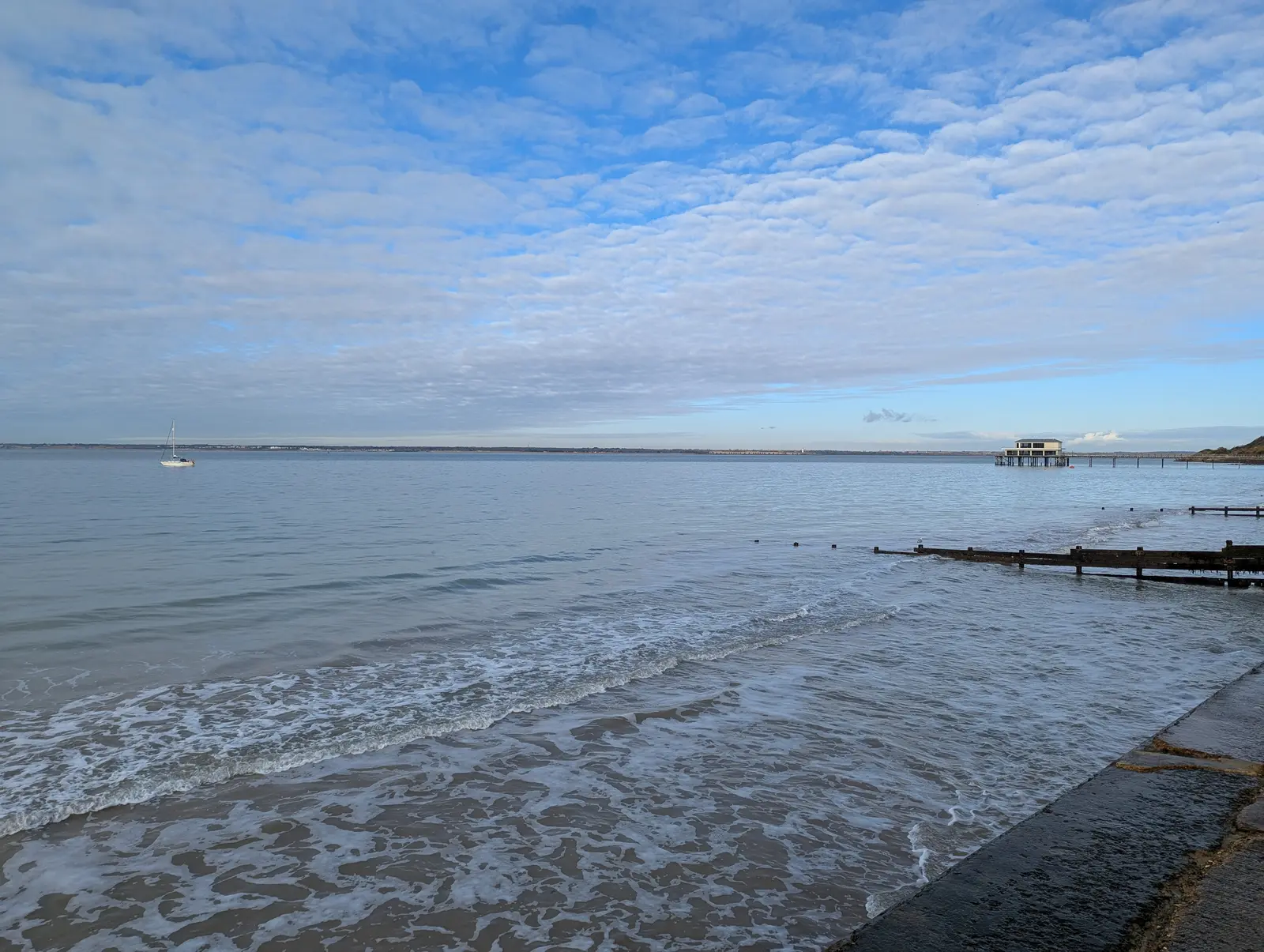
Small waves washing onto a sandy beach beside a concrete slipway, with wooden groynes, a yacht at anchor and the pier in the distance, under a blue sky with rippled cloud.
Figure 25: Looking back along Totland Bay.
A big sky of soft white cloud over calm, pale sea, with a single dark wooden groyne running diagonally into the water from a shingle beach at the bottom of the frame.
Figure 26: Heading back up whilst looking down at the sea at Totland.
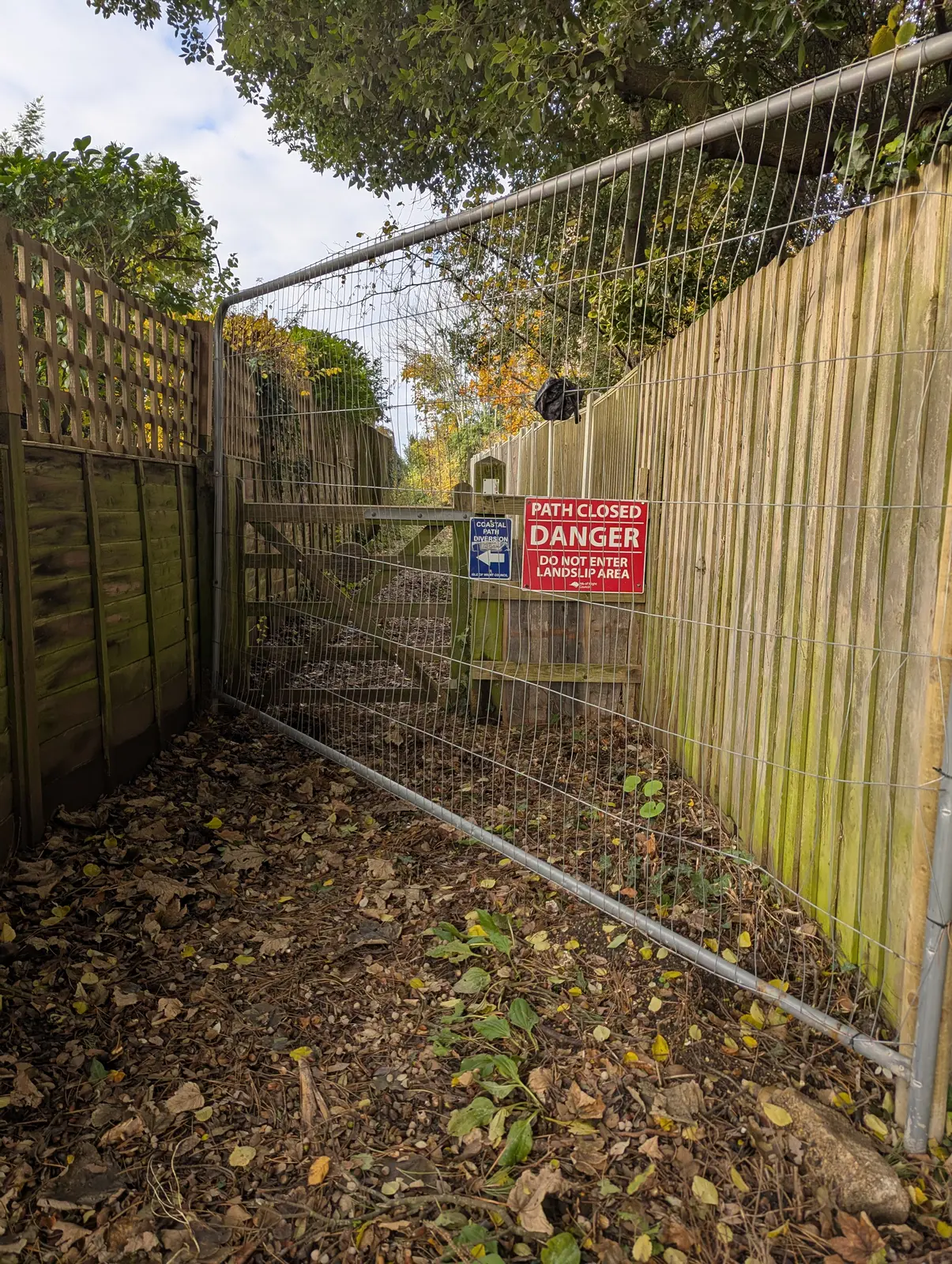
A metal fence panel blocks a narrow path between wooden fences, with a red sign reading Path closed, Danger, Do not enter, Landslip area, and a blue coastal path marker beside it.
Figure 27: The coast path was closed due to another landslip, hence the diversion inland.
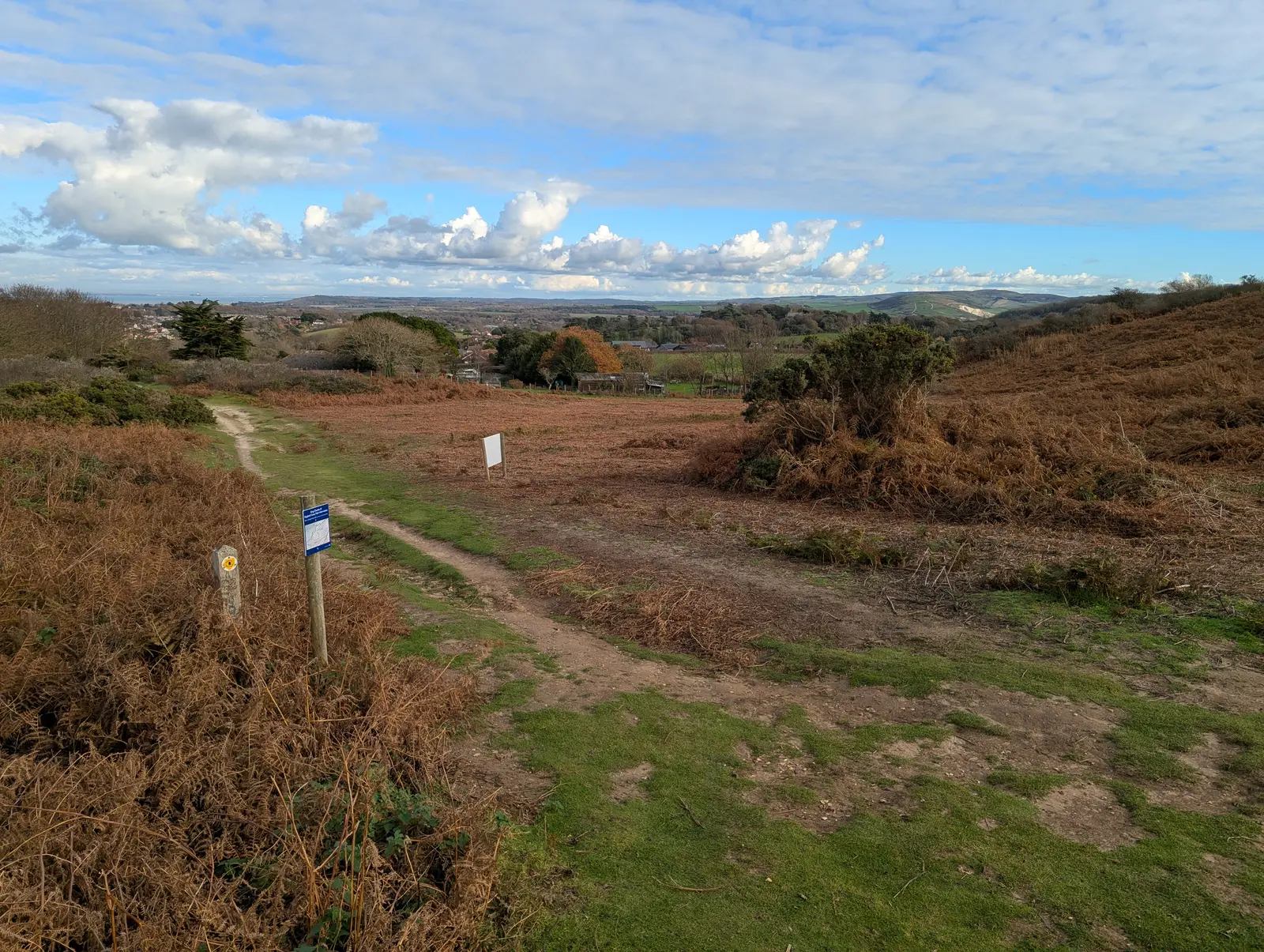
A path winds through brown bracken and green grass on open heathland, with a waymarker post in the foreground and rolling hills and scattered houses in the distance under white cumulus clouds.
Figure 28: Up onto Headon Warren, looking back over Totland and Freshwater to the Downs. It doesn’t really show in the photos but you can see most of the island and as far as Portsmouth and Southampton in one direction, and Bournemouth and Studland in the other.
Green gorse and heather in the foreground, with a wide stretch of blue water beyond and a long, low coastline on the far side, under a pale sky of rippled cloud.
Figure 29: Looking across the Solent from Headon Warren.
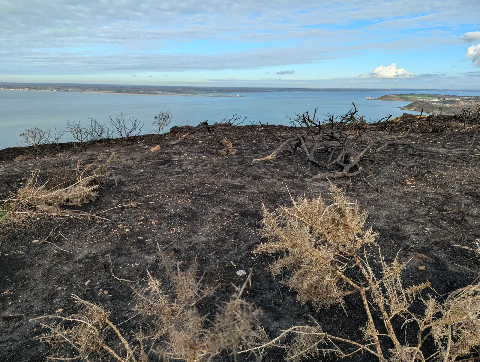
Blackened, scorched ground with the charred skeletons of gorse bushes and pale dried stems, on a hilltop overlooking calm blue sea and a distant shore.
Figure 30: A burnt patch of heath on Headon Warren. Been a lot of fires during our long hot dry 2026.
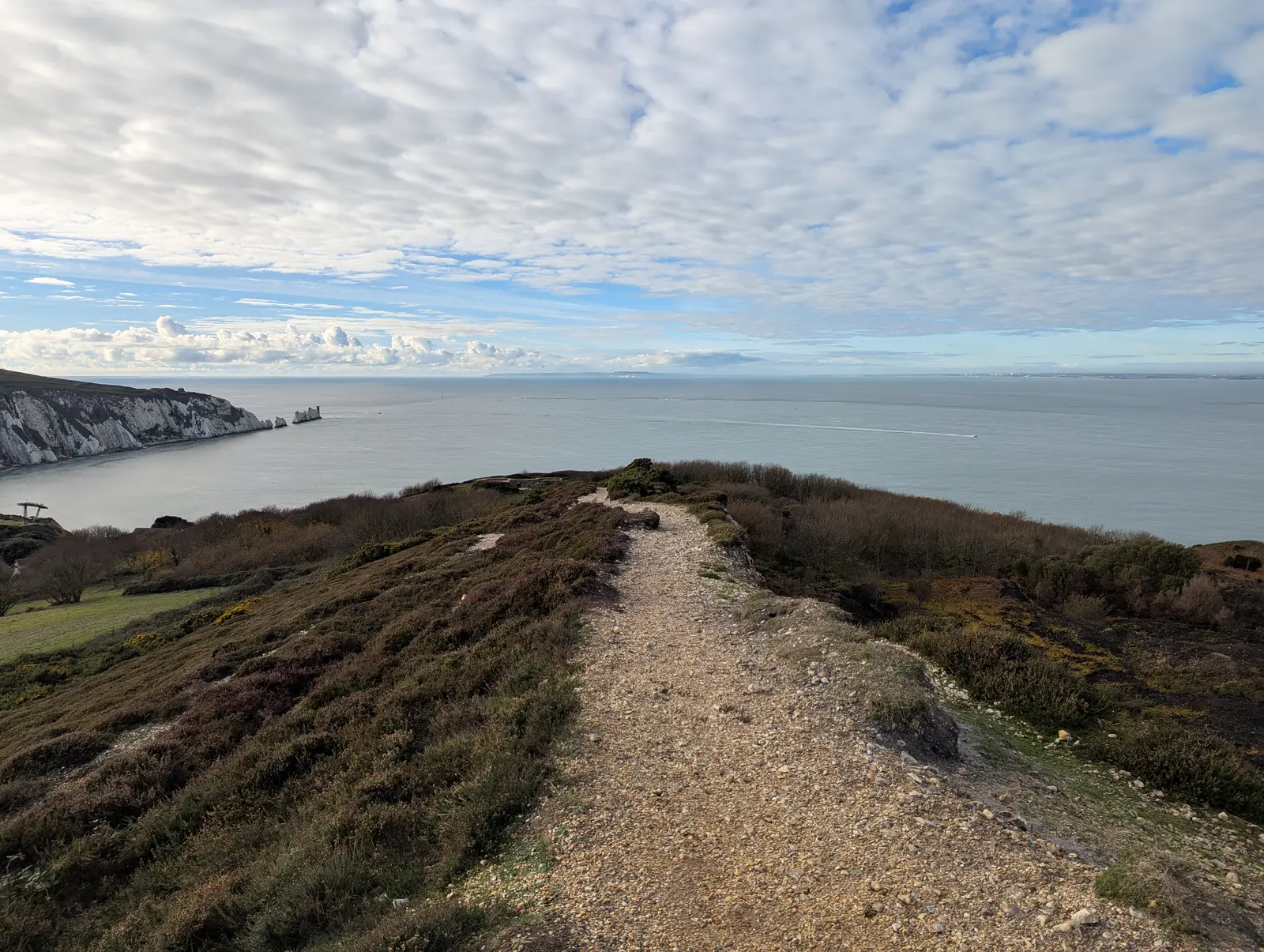
A pale stony path runs along a heather-covered ridge towards the sea, with white chalk cliffs and the chalk stacks of the Needles in the distance on the left, under a sky of rippled cloud.
Figure 31: The Needles from Headon Warren. Not a bad view whilst I had lunch, looking across to Studland.
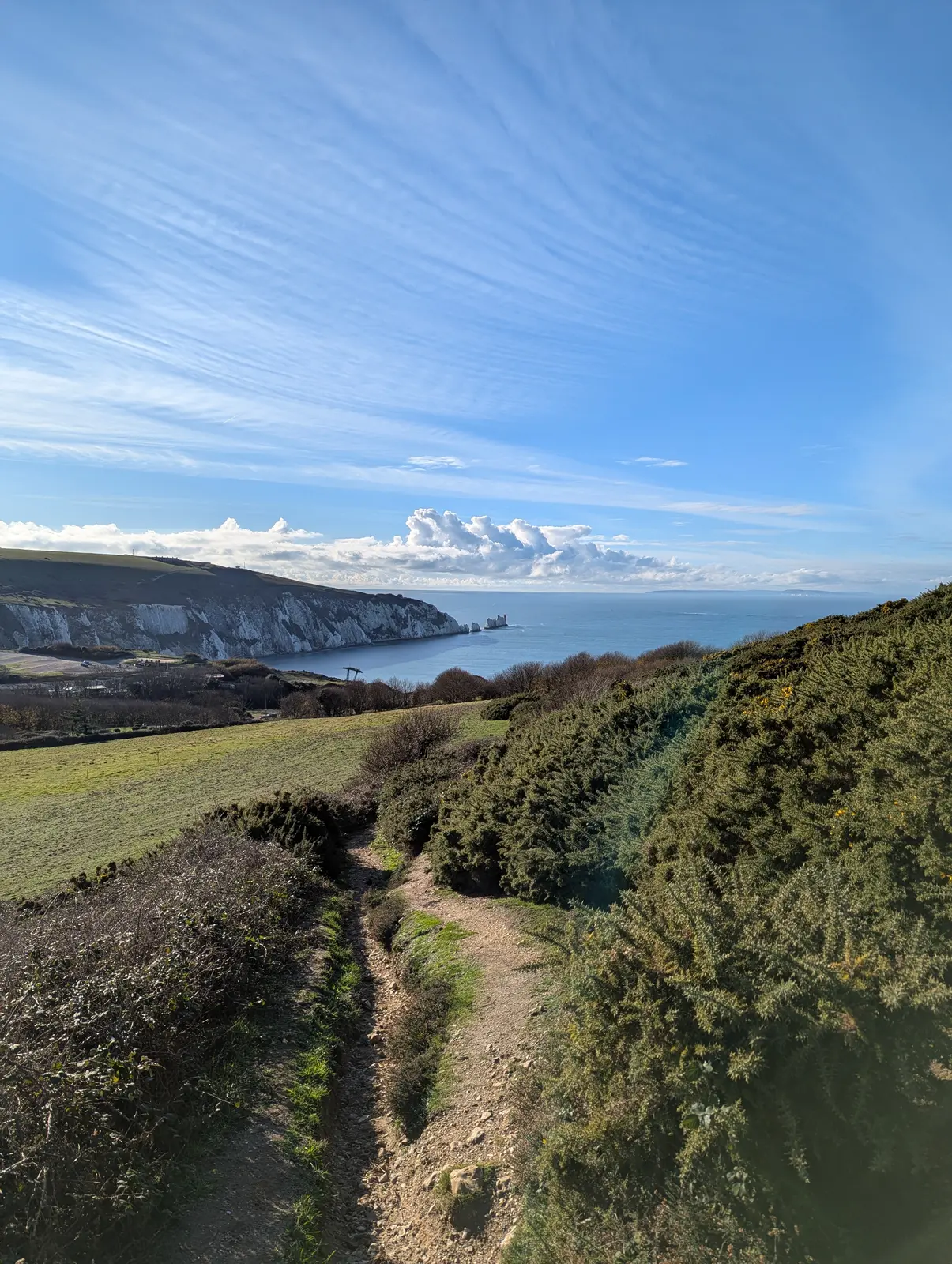
A narrow path between gorse bushes leads downhill, with a long white chalk cliff ending in the Needles stacks across the bay, and a big blue sky streaked with cirrus and a bank of cumulus cloud.
Figure 32: Heading down towards Alum Bay and the Needles.
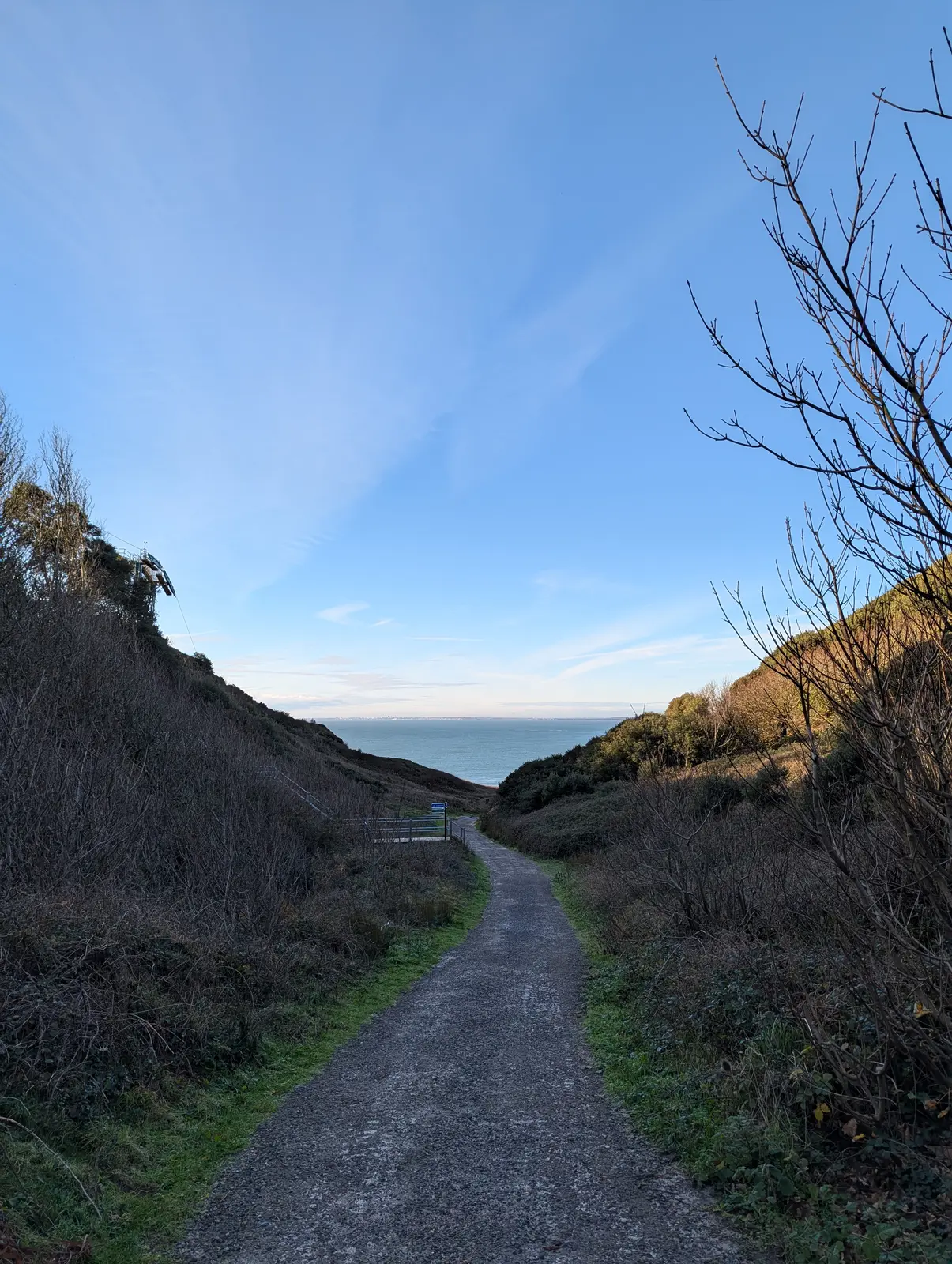
A tarmac path runs downhill through a steep-sided valley of bare scrub and trees, towards a glimpse of blue sea under a clear blue sky.
Figure 33: The path down to the sea and Alum Bay. I didn’t go down to the beach this time. I followed the path back up.
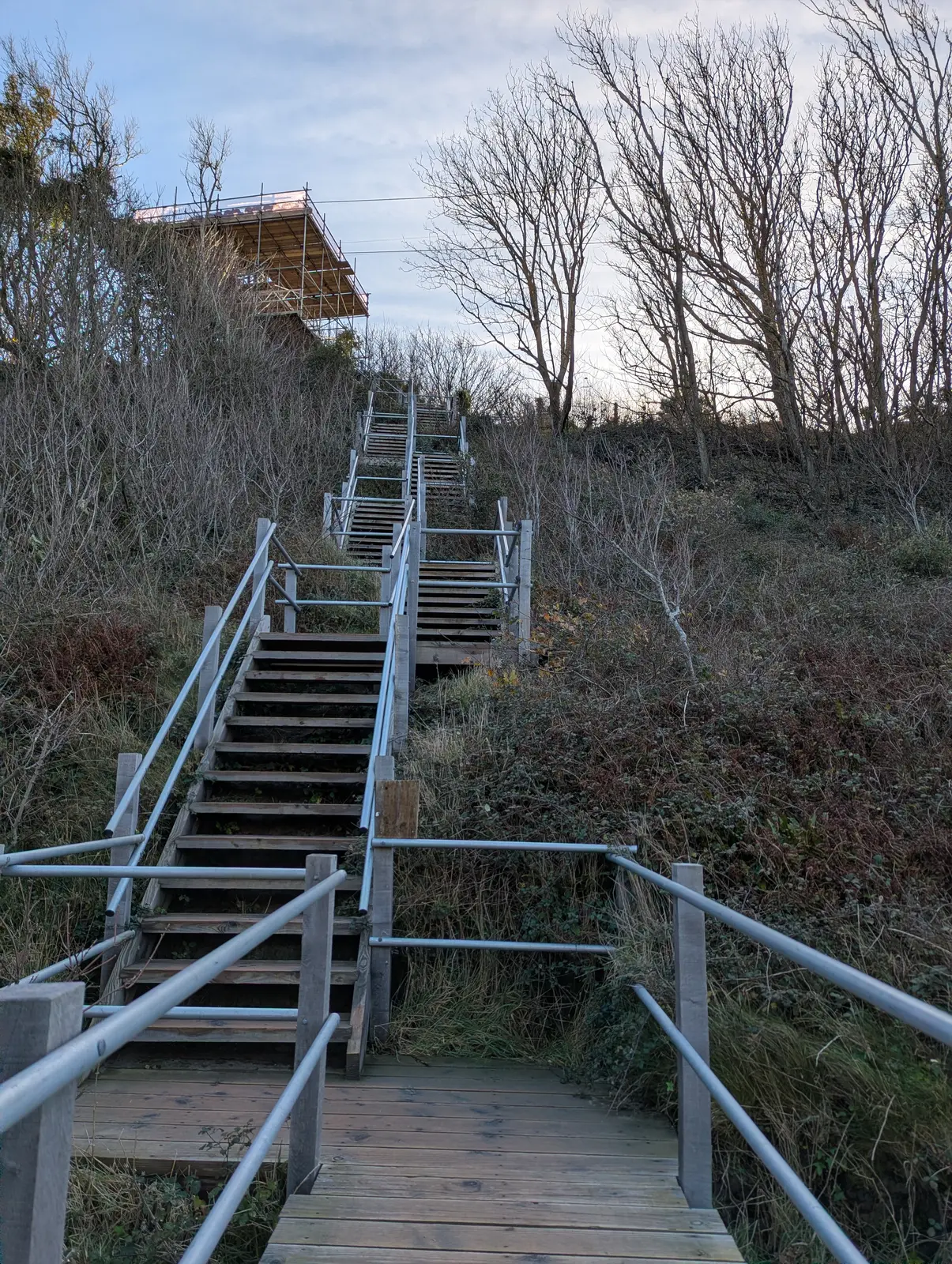
A long wooden staircase with metal handrails climbs steeply up a scrubby slope, with a scaffolded building at the top and bare, windswept trees on the right.
Figure 34: A long flight of steps back up.
A high view across a curving bay of blue water to steep cliffs streaked in orange, cream and grey, topped with green fields, with a single yacht on the water and a clear blue sky.
Figure 35: Looking back at the coloured sand cliffs of Alum Bay.
A small stone lookout building with a pointed roof and a flagpole, surrounded by fencing and a tall metal mast, on a grassy headland above the sea under a large white cloud.
Figure 36: The lookout station on the headland above the Needles. You can’t really see the Needles close-up due to the erosion and things being closed off.
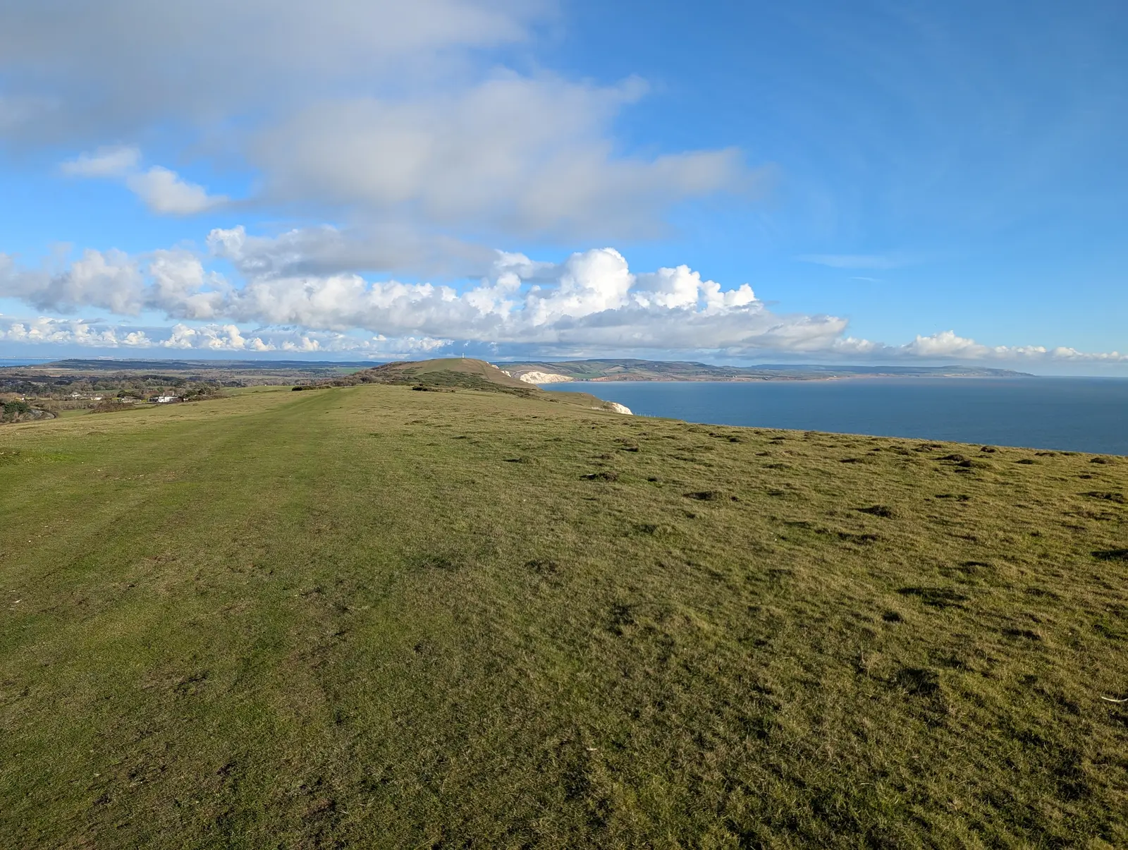
A broad, grassy clifftop ridge runs towards a rounded hill with a white chalk edge, with the sea on the right and distant hills and puffy white clouds beyond.
Figure 37: Heading east along the Downs, with Tennyson Down ahead. You can just see the monument on the top. There’s a big down between here and there.
Rough grass and low scrub in the foreground, with fields and a strip of blue water in the distance, under a bright blue sky with a long white cloud.
Figure 38: Looking north from the Downs towards the Solent.
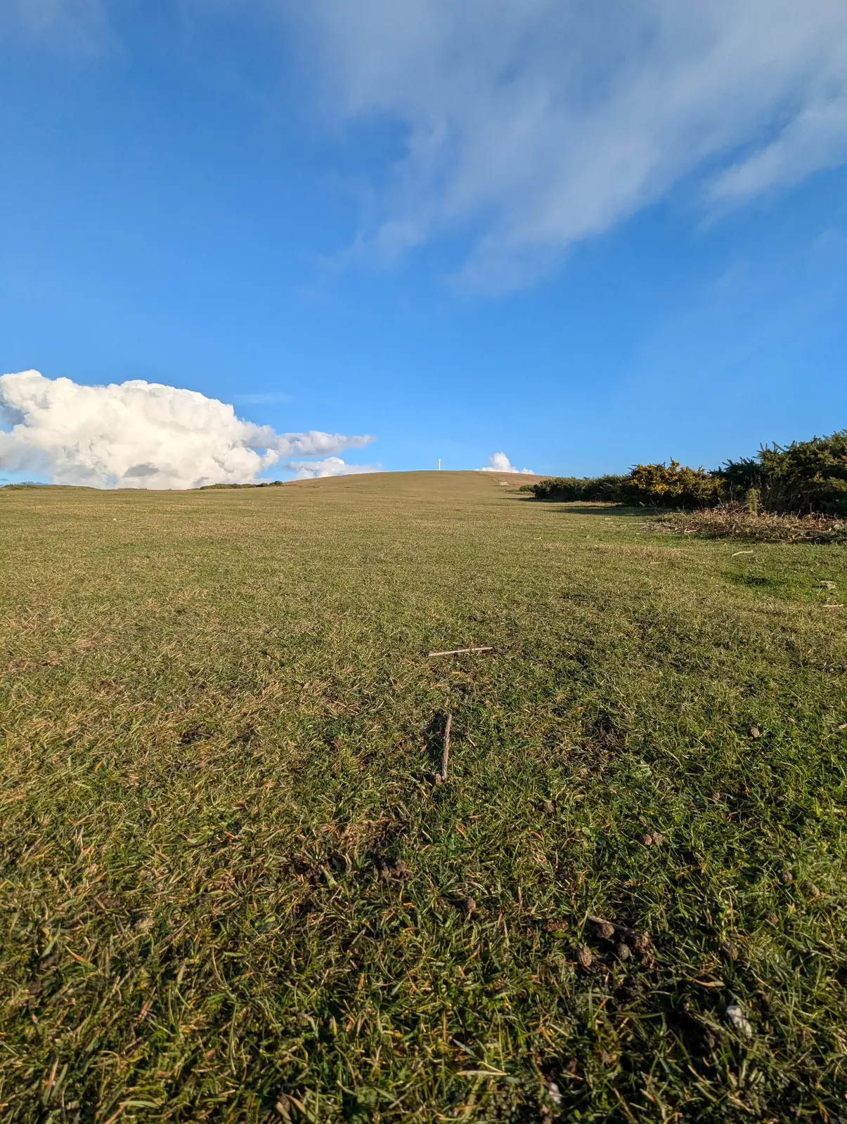
A wide, close-cropped grassy slope rises to a low horizon with a tiny white monument on the summit, under a deep blue sky with a white cloud on the left and gorse on the right.
Figure 39: The climb up Tennyson Down towards the monument. Most people are happy with a bench. Not sure why he needs a big slab of marble, but you can read about it here.
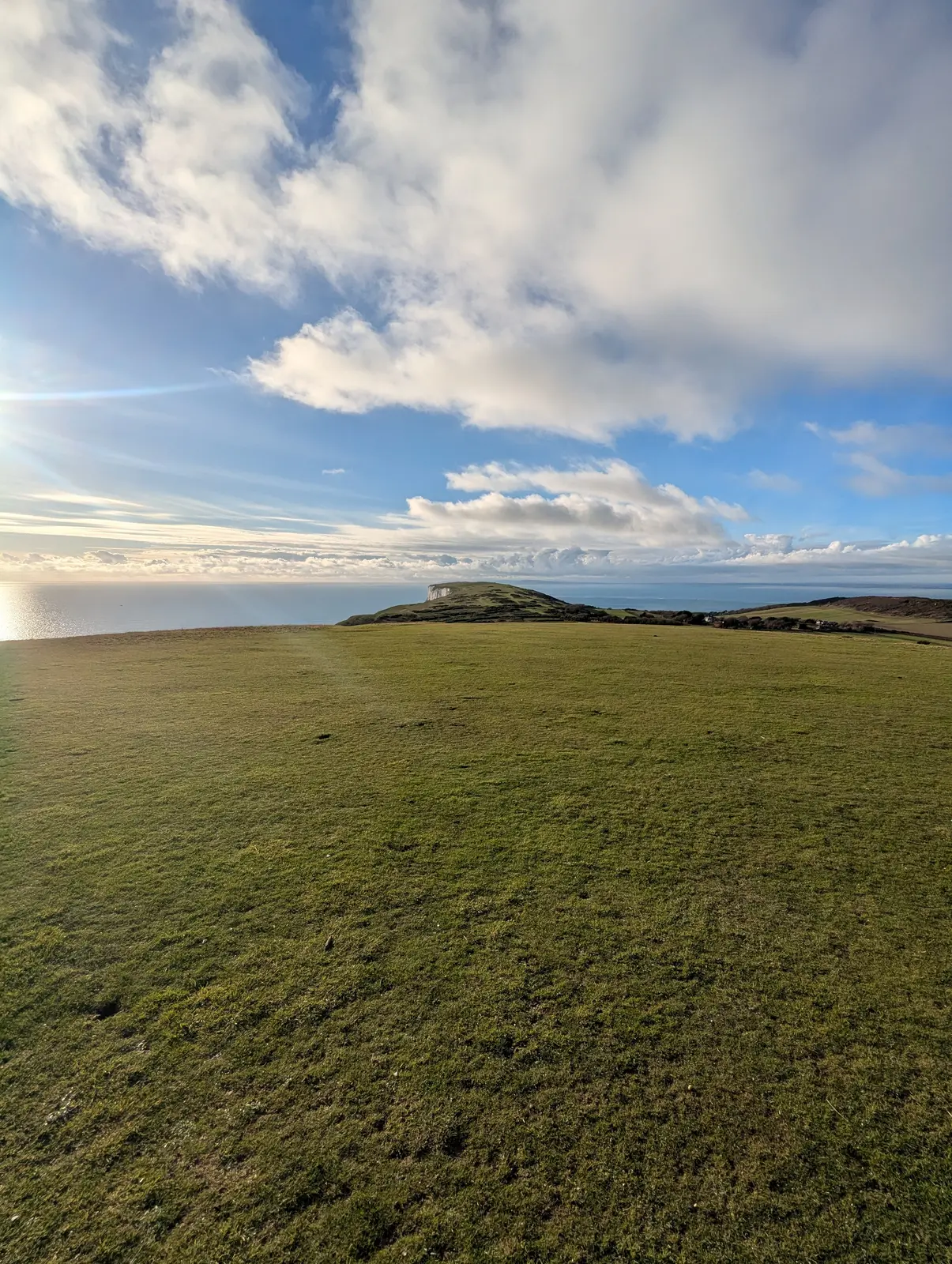
A broad grassy down slopes away to a narrow headland with the sea on both sides, the sun low on the left reflecting off the water, and large white clouds overhead.
Figure 40: Looking back west along the Downs to the Needles headland.
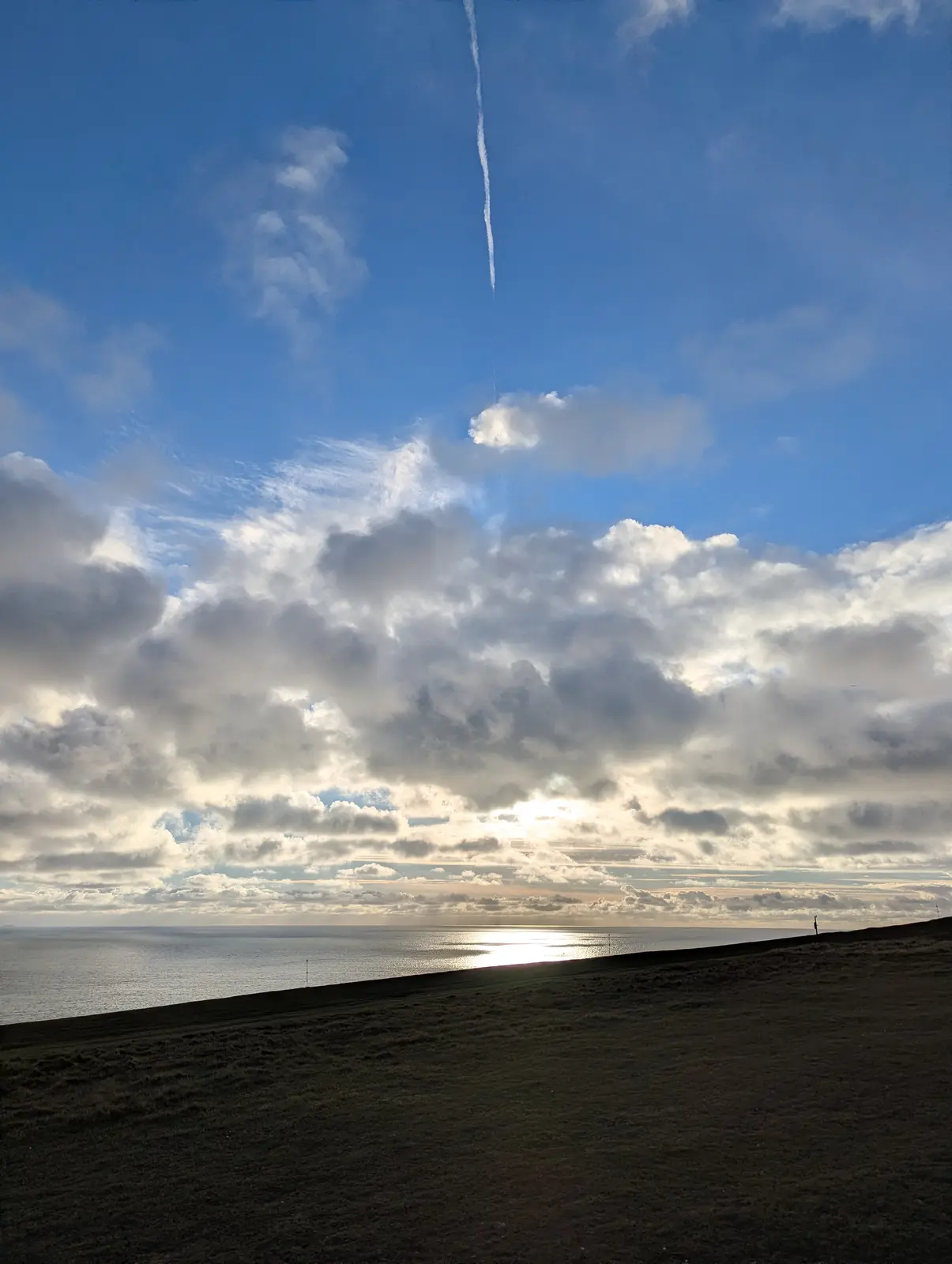
A dark silhouetted hillside with a tiny figure on the skyline, below a sky of heavy grey and white cloud lit from behind, the sun reflecting on the sea, and a vapour trail high in the blue above.
Figure 41: The afternoon sun on the sea from Tennyson Down.
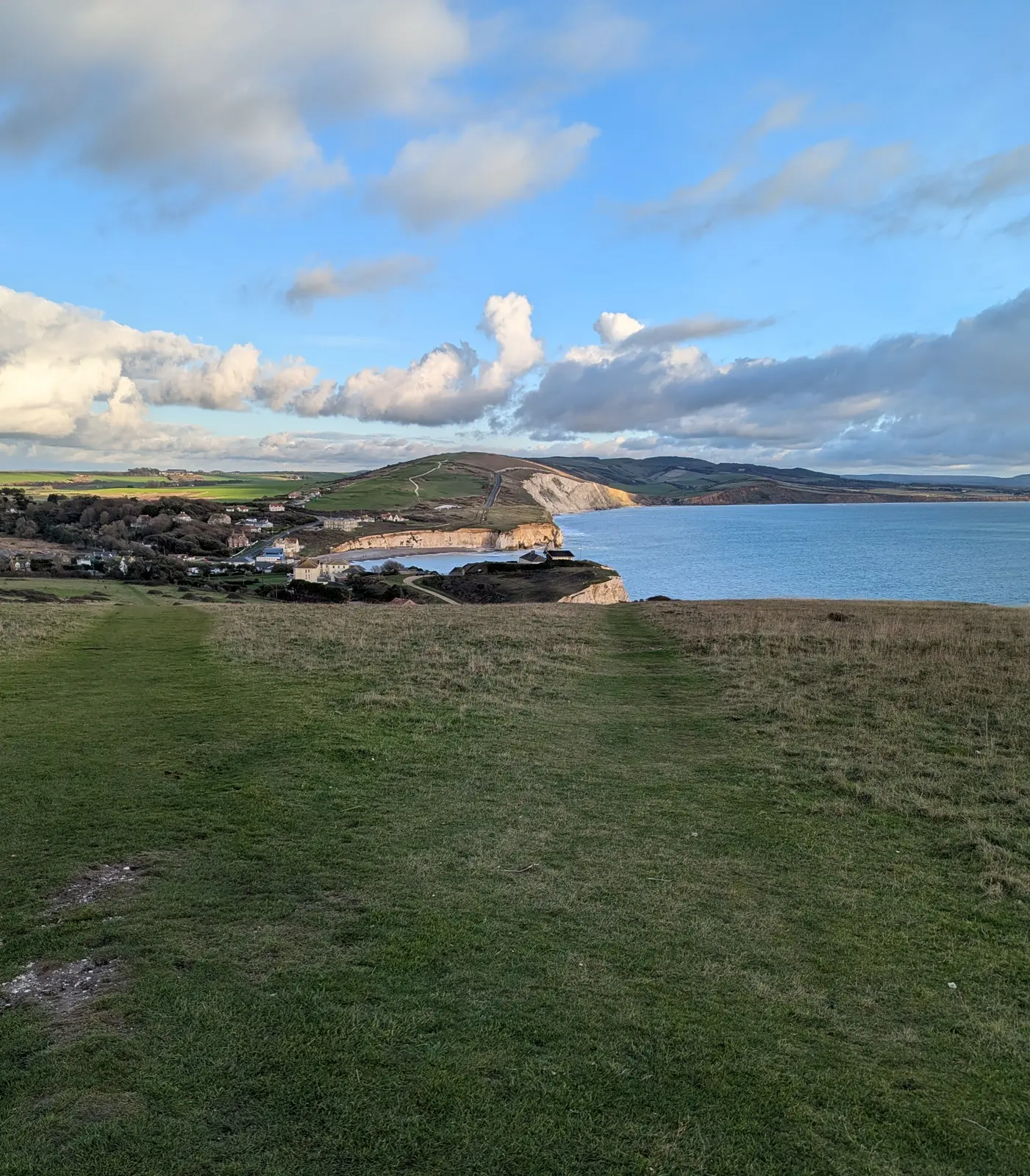
A grassy path leads down a gentle slope towards a small bay with white chalk cliffs and houses, with a green hill and further cliffs beyond under blue sky and white cloud.
Figure 42: Coming down off Tennyson Down to Freshwater Bay.
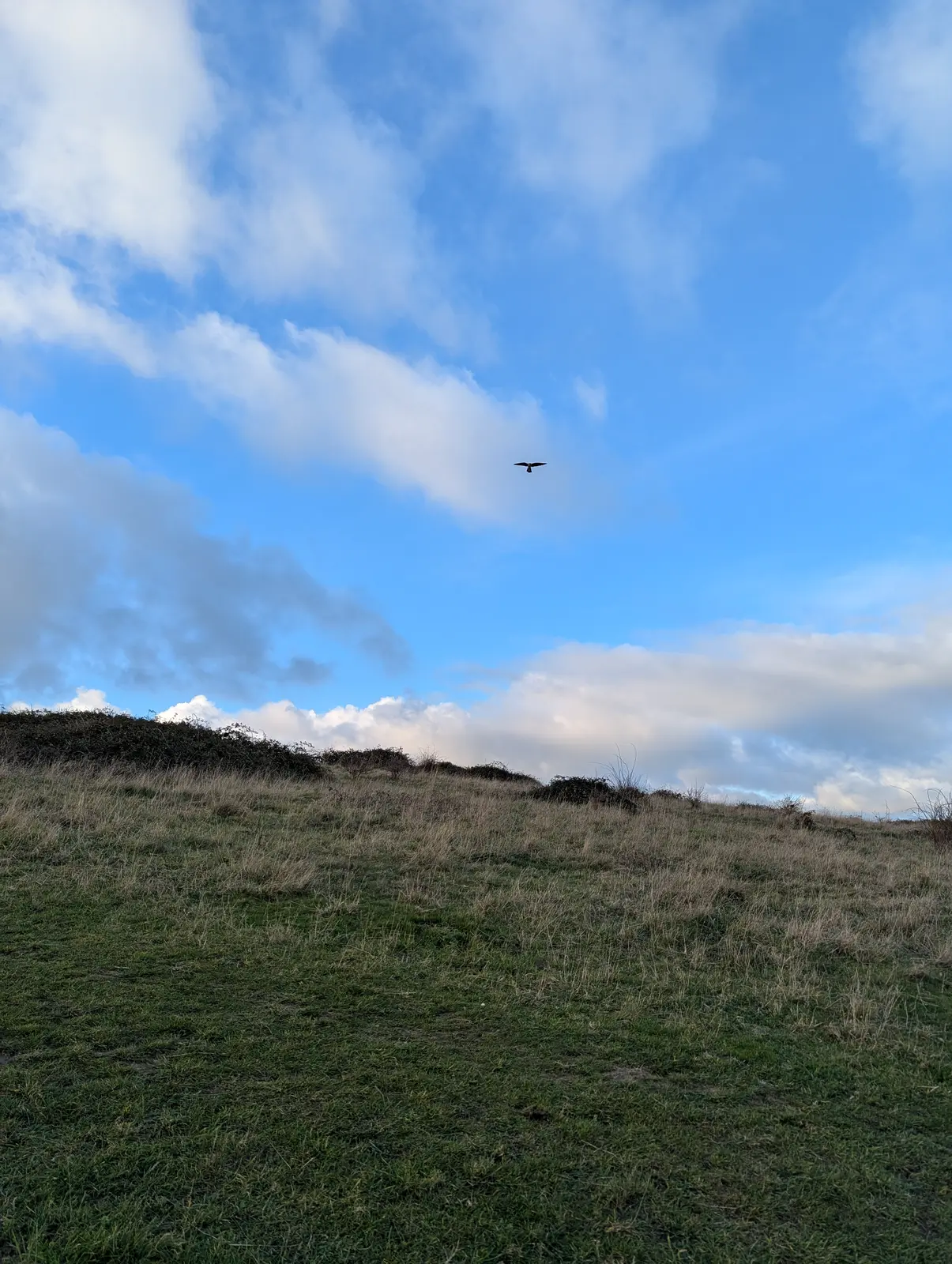
A small dark bird silhouetted in flight against a blue sky with white cloud, above a grassy hillside with low scrub on the skyline.
Figure 43: I stood and watched this kestrel hunting for ages. I was able to get very close and it didn’t seem to care. Not possible to get a decent photo with my phone though.
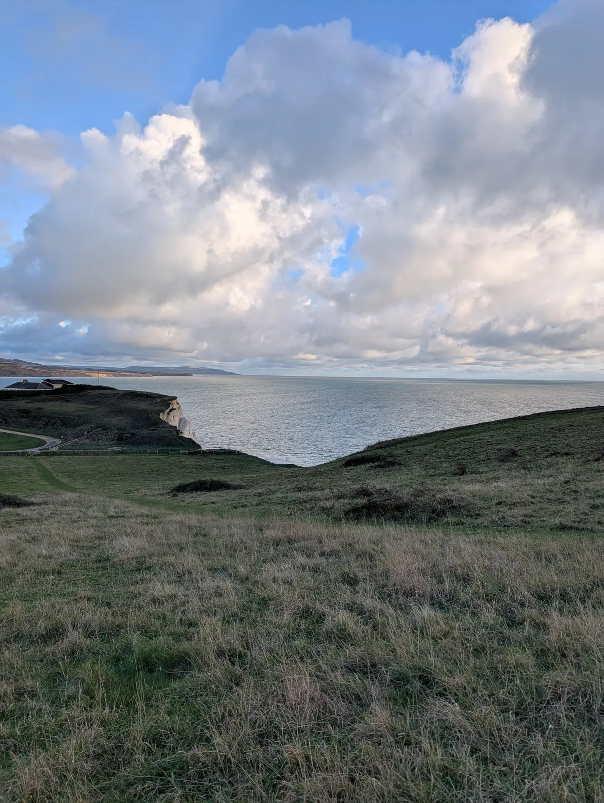
A grassy slope runs down to a white chalk cliff edge above a calm, silvery sea, with the coastline stretching away in the distance under towering white and grey clouds.
Figure 44: Looking back over the cliffs above Freshwater Bay.
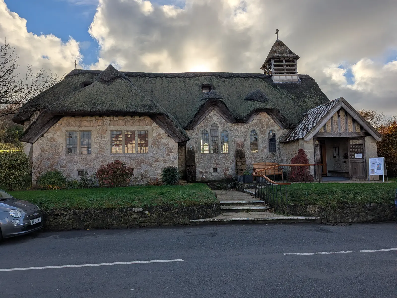
A stone church with a thick, mossy thatched roof, a small bell turret with a cross, a timber porch and leaded windows, set behind a low stone wall beside a road, under a cloudy sky.
Figure 45: St Agnes’ Church at Freshwater Bay, the only thatched church on the Isle of Wight. I didn’t have time to look inside or I’d have missed my bus.
A stone church with a tall square crenellated tower with blue clock faces, on a street corner behind a stone wall, lit by low evening sun against a blue sky.
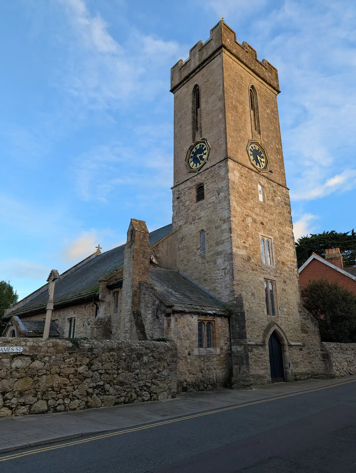
Figure 46: St James’ Church, back in Yarmouth for the ferry home. I did have a look around this one.
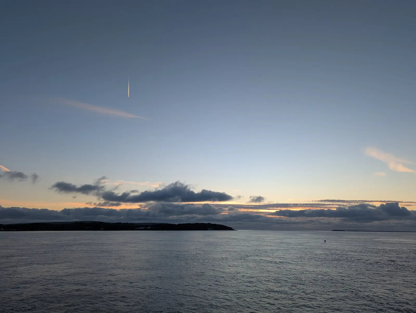
Calm grey-blue water stretching to a dark wooded headland on the left, with a band of dark cloud and an orange glow on the horizon under a clear, fading blue sky with a vapour trail.
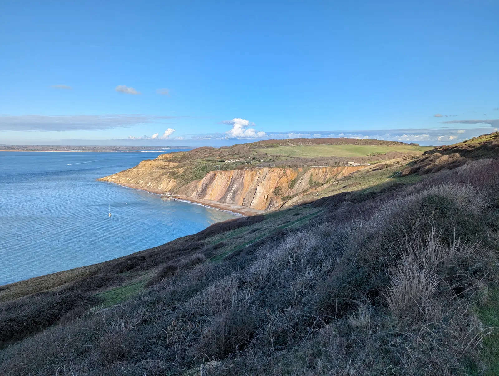
Figure 47: Dusk over the Solent from the ferry. The ferry left at 1605 and sunset was at 1612.
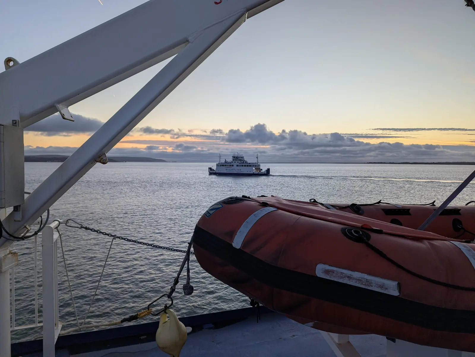
An orange inflatable rescue boat on the deck of a ferry in the foreground, framed by a white davit, with another ferry crossing the calm water beyond under an evening sky with an orange glow.
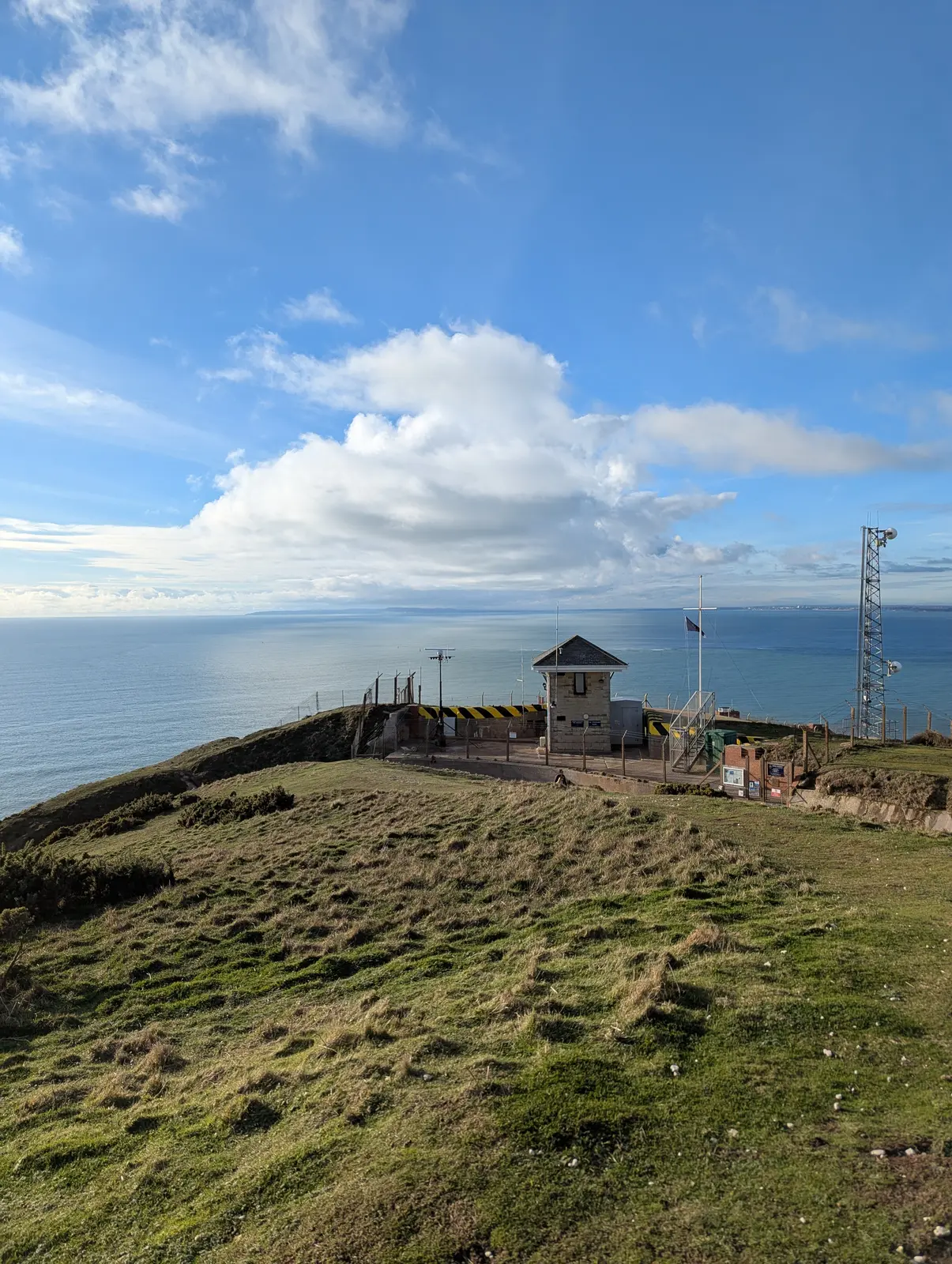
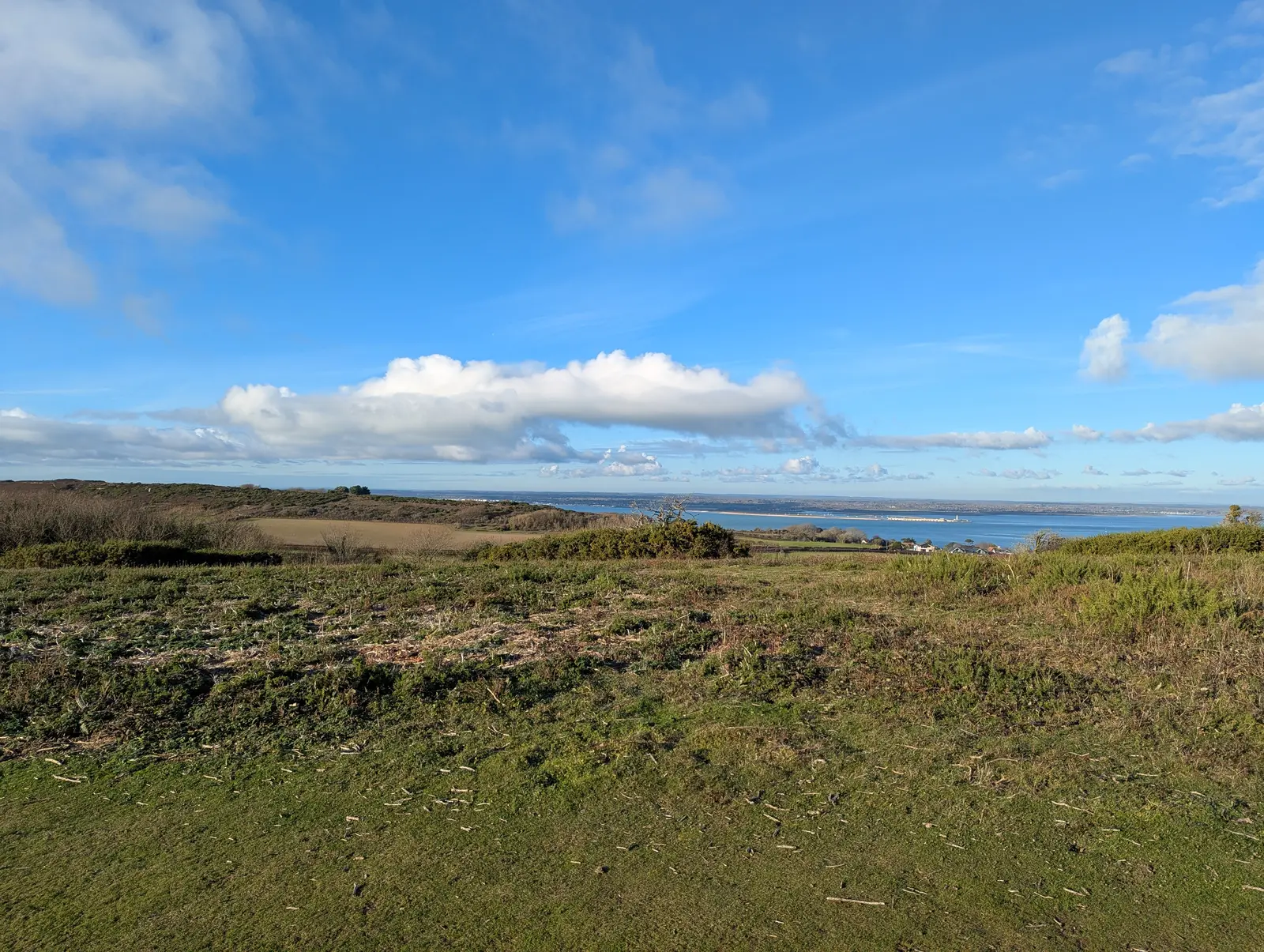
Figure 48: Passing the other ferry on the crossing.
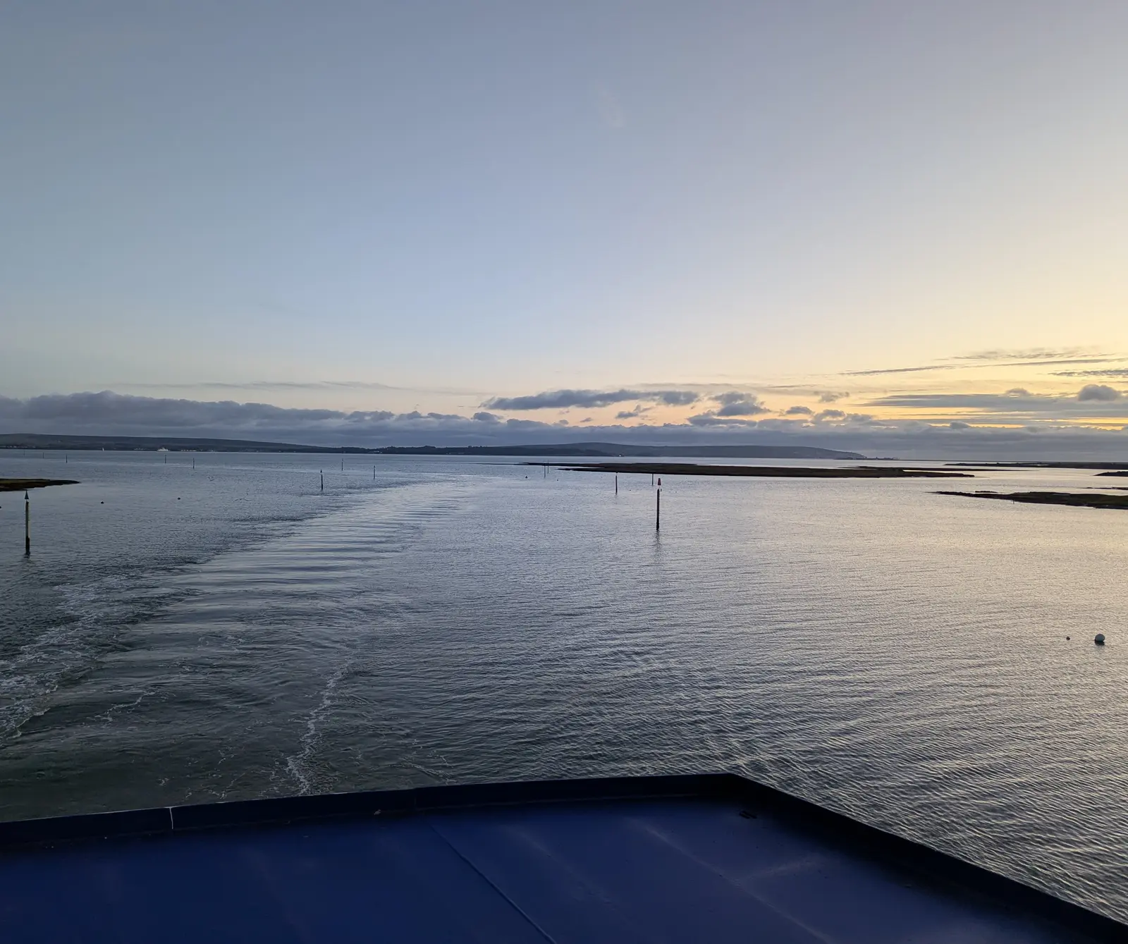
The view from the stern of a ferry over its wake across calm water, with channel marker posts, low marshy banks and a distant shoreline under a pale dusk sky.
Figure 49: Coming back into the Lymington River. Looking back towards the Island.
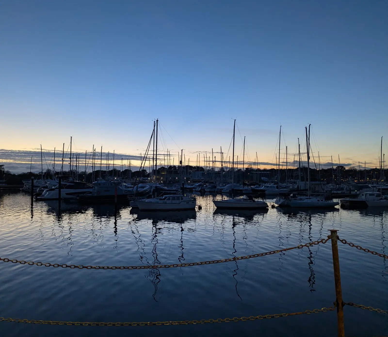
Many yachts with tall masts moored in a marina at dusk, reflected in dark blue water, with a chain barrier in the foreground and a deep blue sky fading to orange on the horizon.
Figure 50: The marina at Lymington as the light faded and I waited for my train.

← Previous: Reading Green Park to Mortimer via Burghfield · All walks

Back to top

Citation

BibTeX citation:
@online{bailey2026,
  author = {Bailey, Alistair},
  title = {Yarmouth to {Freshwater}},
  date = {2026-11-21},
  url = {https://ab604.uk/blog/2026-11-11-walks/05-yarmouth-to-freshwater/},
  langid = {en}
}
For attribution, please cite this work as:
Bailey, Alistair. 2026. “Yarmouth to Freshwater.” November 21. https://ab604.uk/blog/2026-11-11-walks/05-yarmouth-to-freshwater/.