Upwey to Weymouth

walks
Author
Published

Last Updated on 2026-10-16

Friday 16th October 2026

Left home at 1040, and caught the train from Southampton Central to Upwey which is one-stop inland from Weymouth and takes about 1hr 30min. Walk to Weymouth via the ridgeway and coastal path. 17.20 km (10.69 miles) on the map, but I walked 19.29 km (11.99 miles) including a slight detour in about 4 hours and 20 minutes. Got back home at 2000.

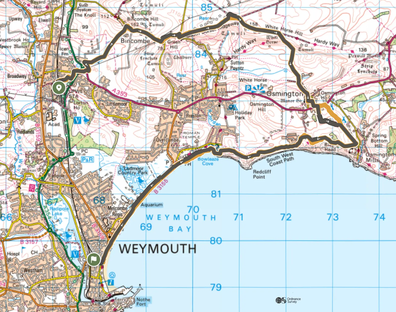
OS Maps Upwey to Weymouth Route
Download the GPX file

Ordnance Survey map of the route. It starts at Upwey station, heads east along the ridgeway past Bincombe and above Osmington, drops south to the coast near Osmington Mills, then follows the coast path west past Redcliff Point and Bowleaze Cove and along Weymouth beach to the town centre.
Figure 1: Map of route from Upwey to Weymouth. Grey is the plotted route, with the yellow showing where I deviated from the route.
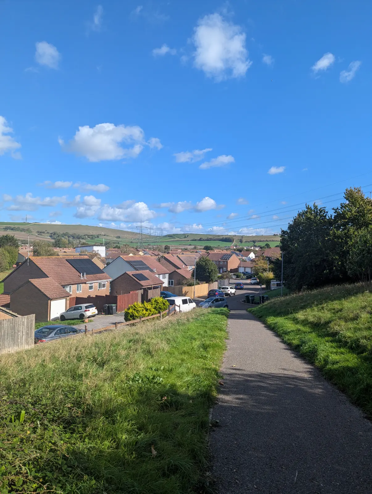
A tarmac footpath runs downhill between grassy banks towards a housing estate, with green downland beyond under a blue sky with small clouds.
Figure 2: Heading out of Upwey towards the ridgeway.
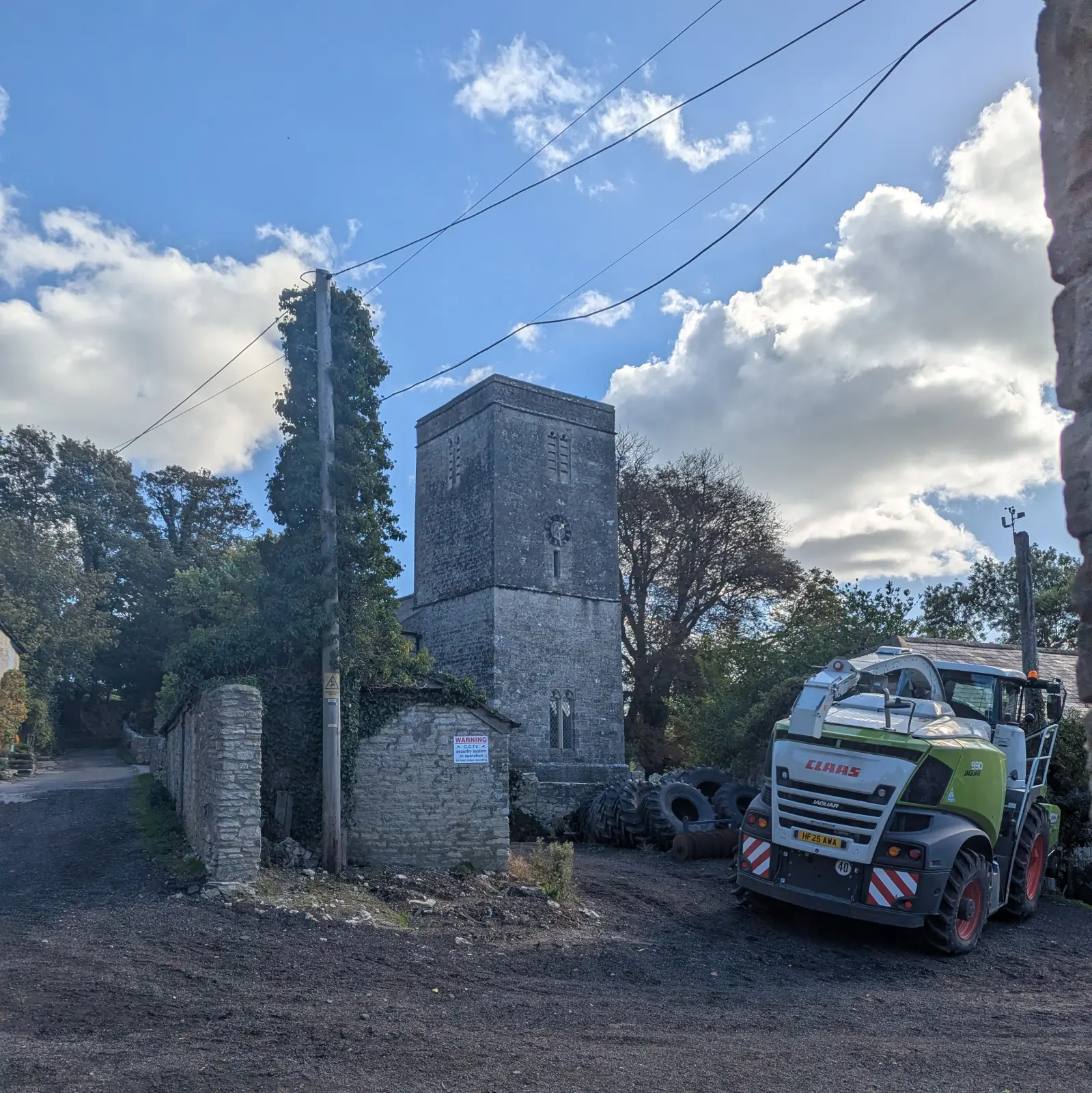
The stone tower of a small village church beside a farmyard, with a large green forage harvester and a stack of old tyres.
Figure 3: The church at Bincombe, with a forage harvester parked in the farmyard next door.
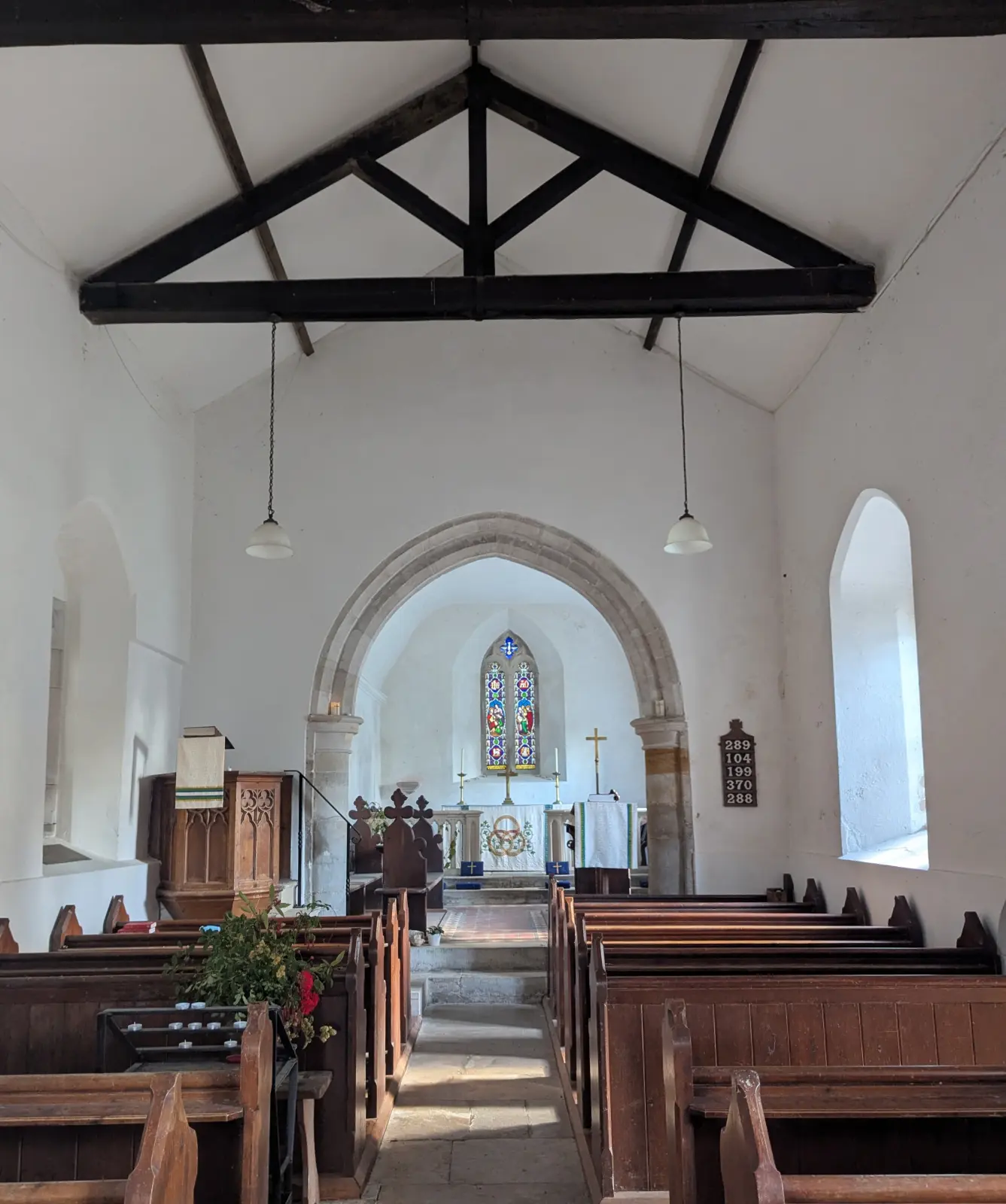
Inside a simple whitewashed church: wooden pews, dark roof beams and hanging lamps, with a stone arch leading to the altar and a small stained glass window.
Figure 4: Inside the church at Bincombe.
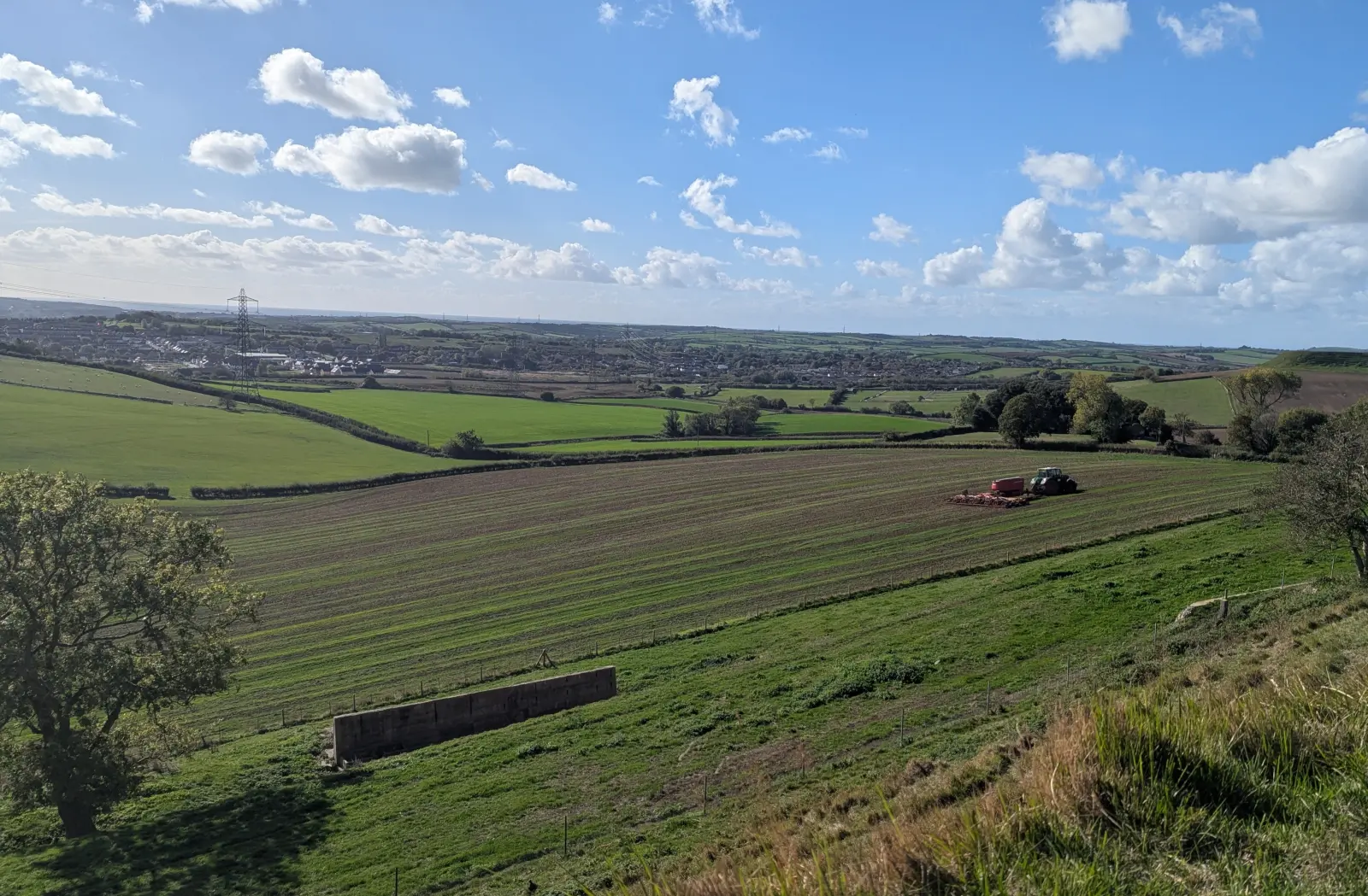
View from the ridgeway down over sloping fields, where a tractor is working a ploughed field, towards the edge of Weymouth on the horizon.
Figure 5: Looking back over the fields towards Weymouth from the ridgeway.
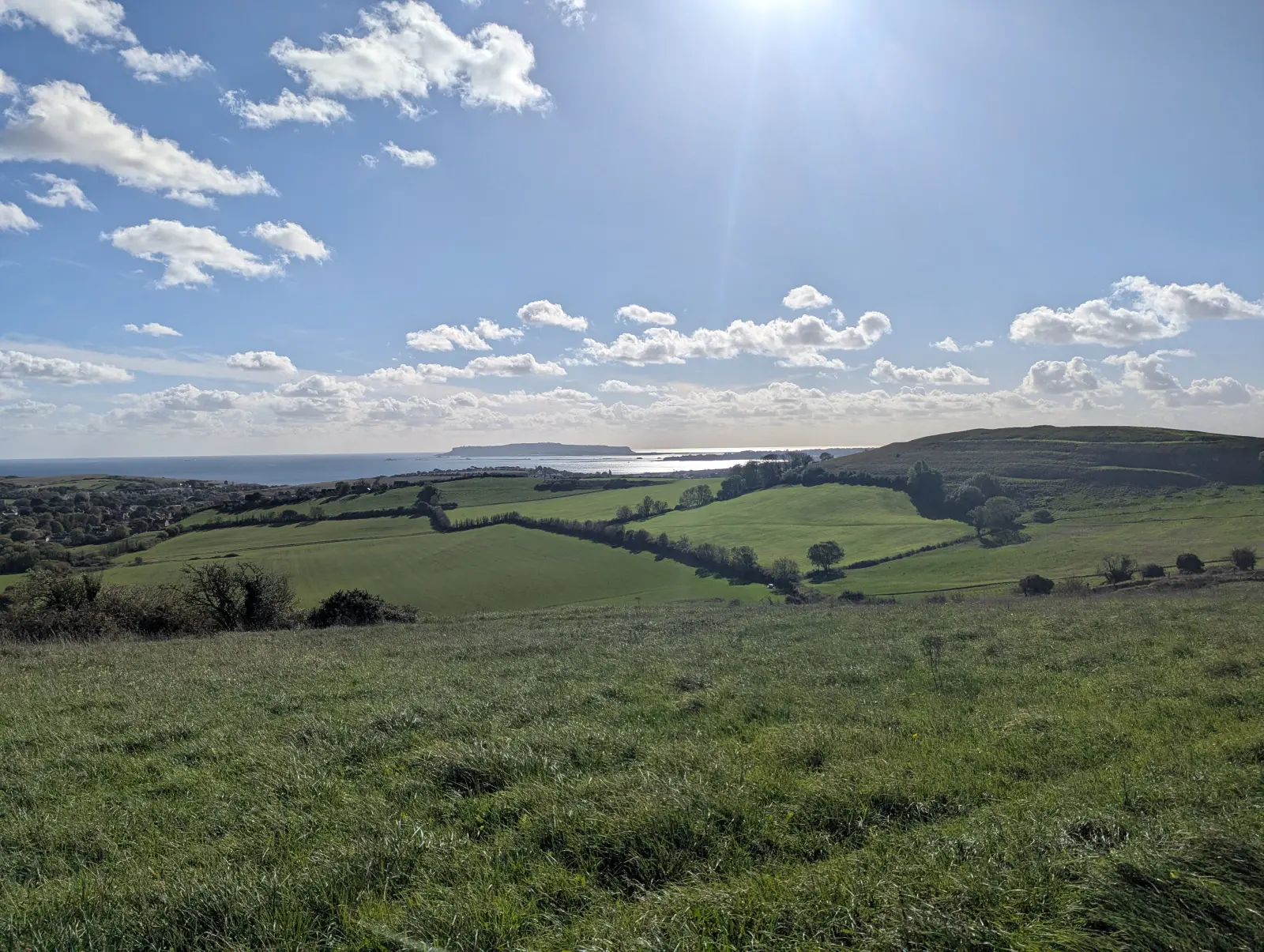
Looking south from the ridgeway over a patchwork of green fields and hedges to the sea, with the Isle of Portland on the horizon under a bright, cloud-dotted sky.
Figure 6: The view south from the ridgeway to the Isle of Portland. Where I had my lunch.
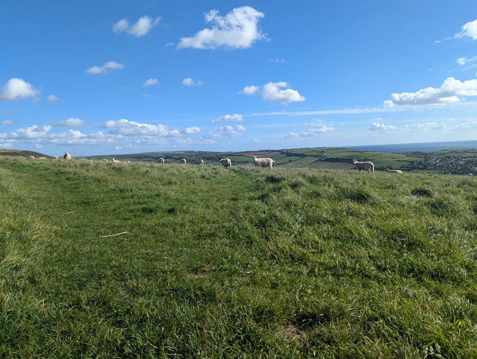
Sheep grazing on a grassy hilltop, with fields and the sea in the distance under a blue sky.
Figure 7: Sheep grazing on the ridgeway.
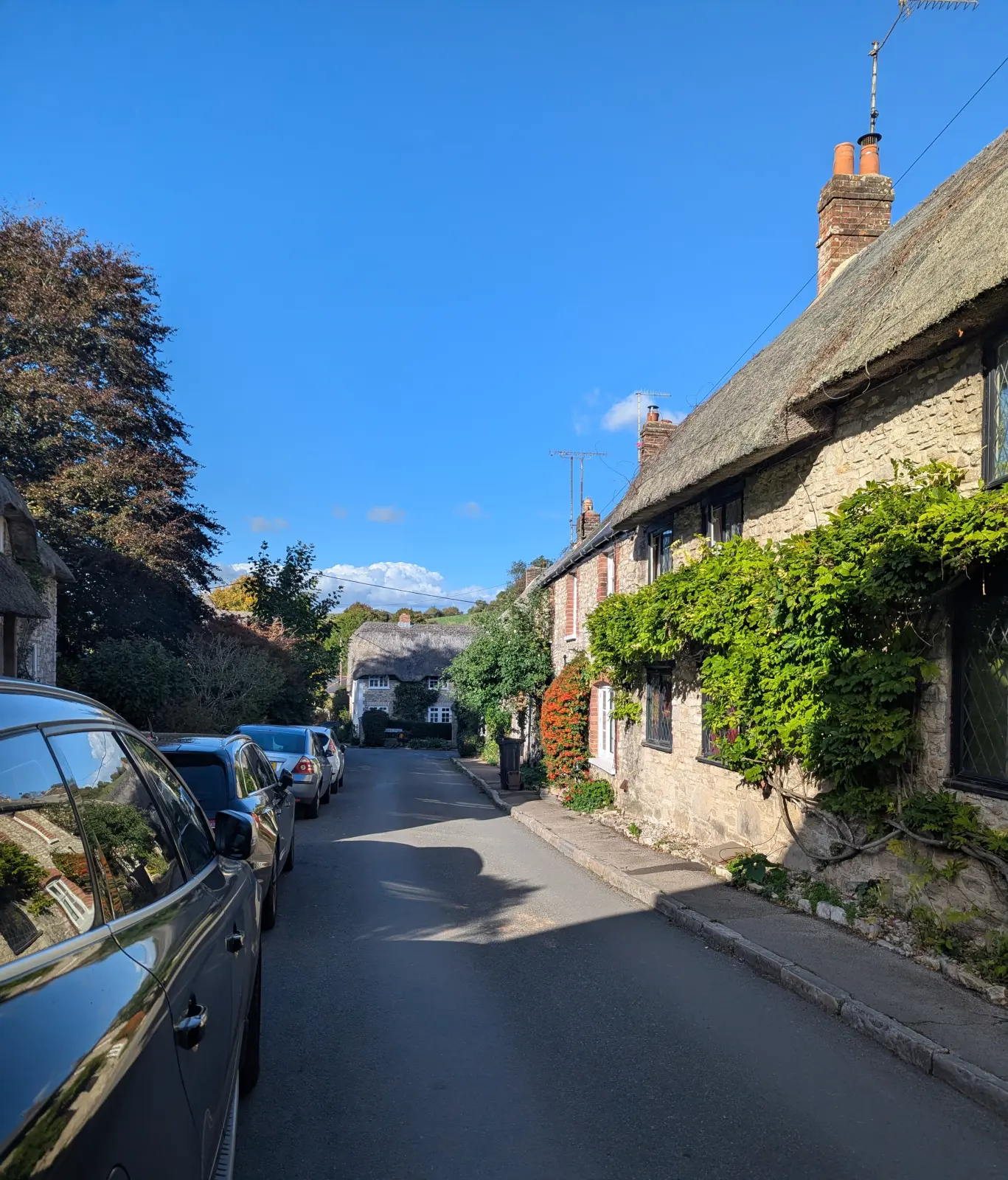
A quiet village lane lined with thatched stone cottages, one covered in climbing plants, with cars parked along the left-hand side.
Figure 8: Thatched cottages in Osmington.
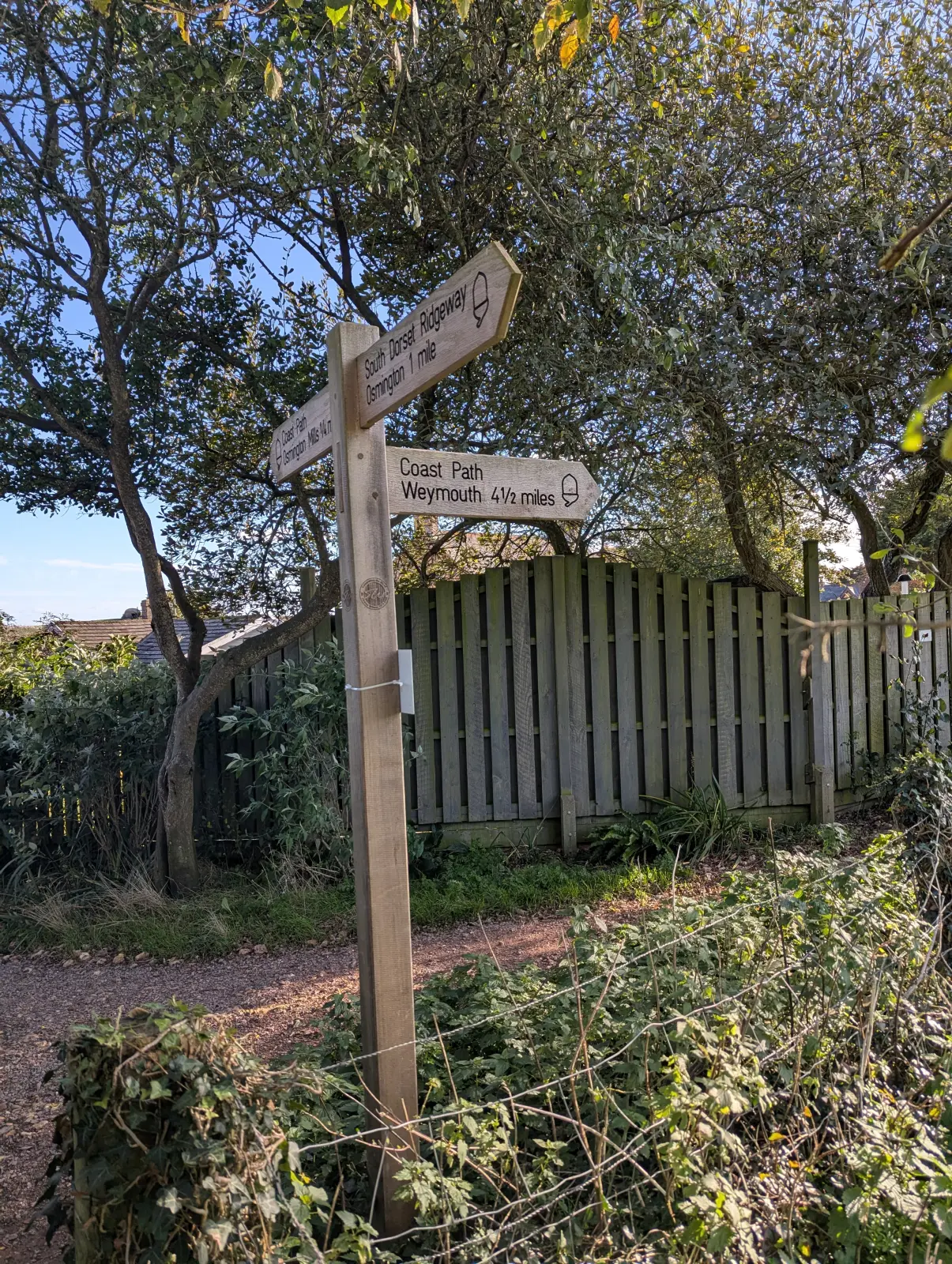
A wooden fingerpost by a fence, pointing to the South Dorset Ridgeway, Osmington 1 mile, and the Coast Path, Weymouth 4½ miles.
Figure 9: Joining the coast path: 4½ miles to Weymouth.
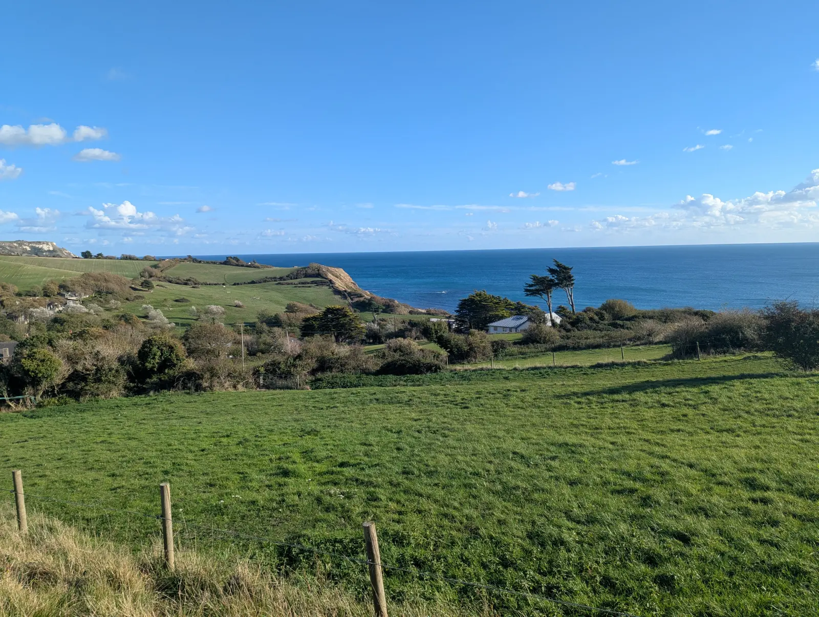
Green fields slope down to a deep blue sea, with wind-bent pine trees and a low cliff along the coast.
Figure 10: The first sight of the sea from the coast path.
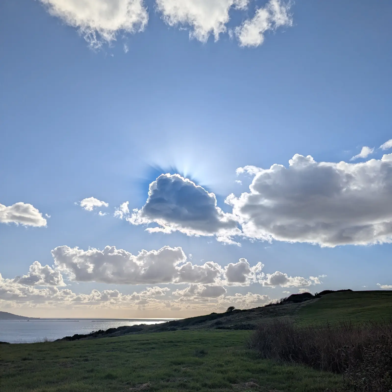
The sun hidden behind a cumulus cloud, with rays fanning out around its edge, above a grassy headland and the sea.
Figure 11: The sun behind a cloud over the coast path.
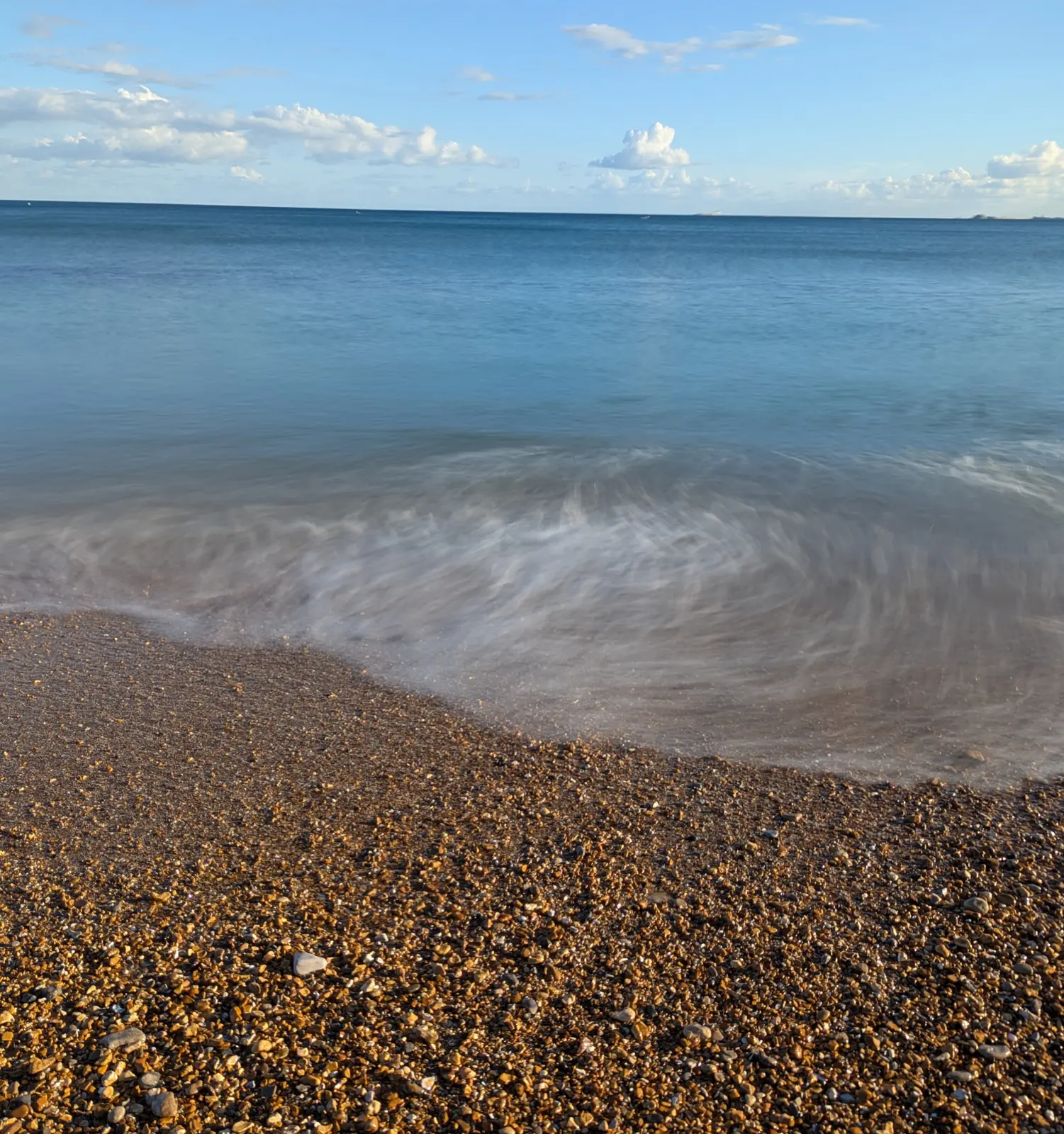
Long-exposure photo of a wave washing over a golden shingle beach, the water blurred into soft white streaks.
Figure 12: A long exposure of a wave on the shingle.
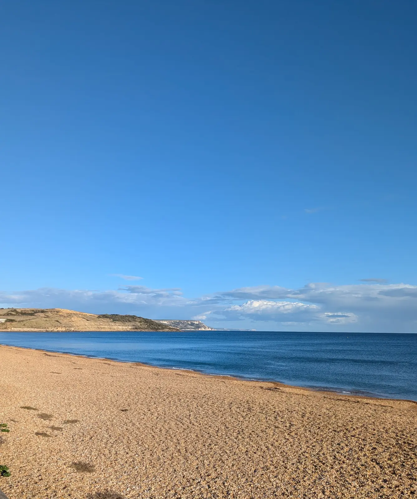
An empty shingle beach curving along a calm blue sea, with low cliffs at the far end under a clear sky.
Figure 13: Looking back east along the beach.
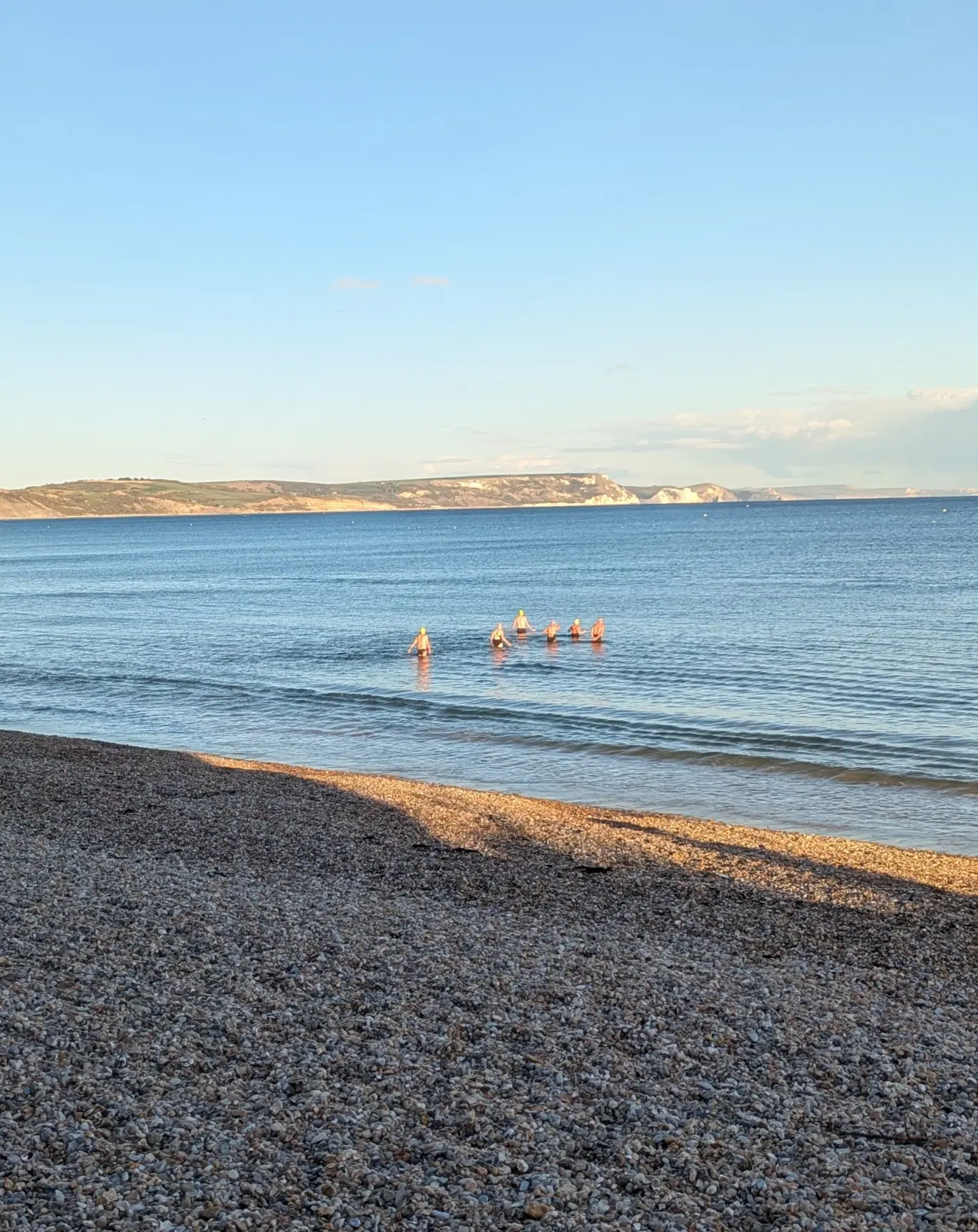
A group of five sea swimmers in calm water off a shingle beach in late afternoon light, with cliffs along the far side of the bay.
Figure 14: Late-afternoon sea swimmers at Weymouth.
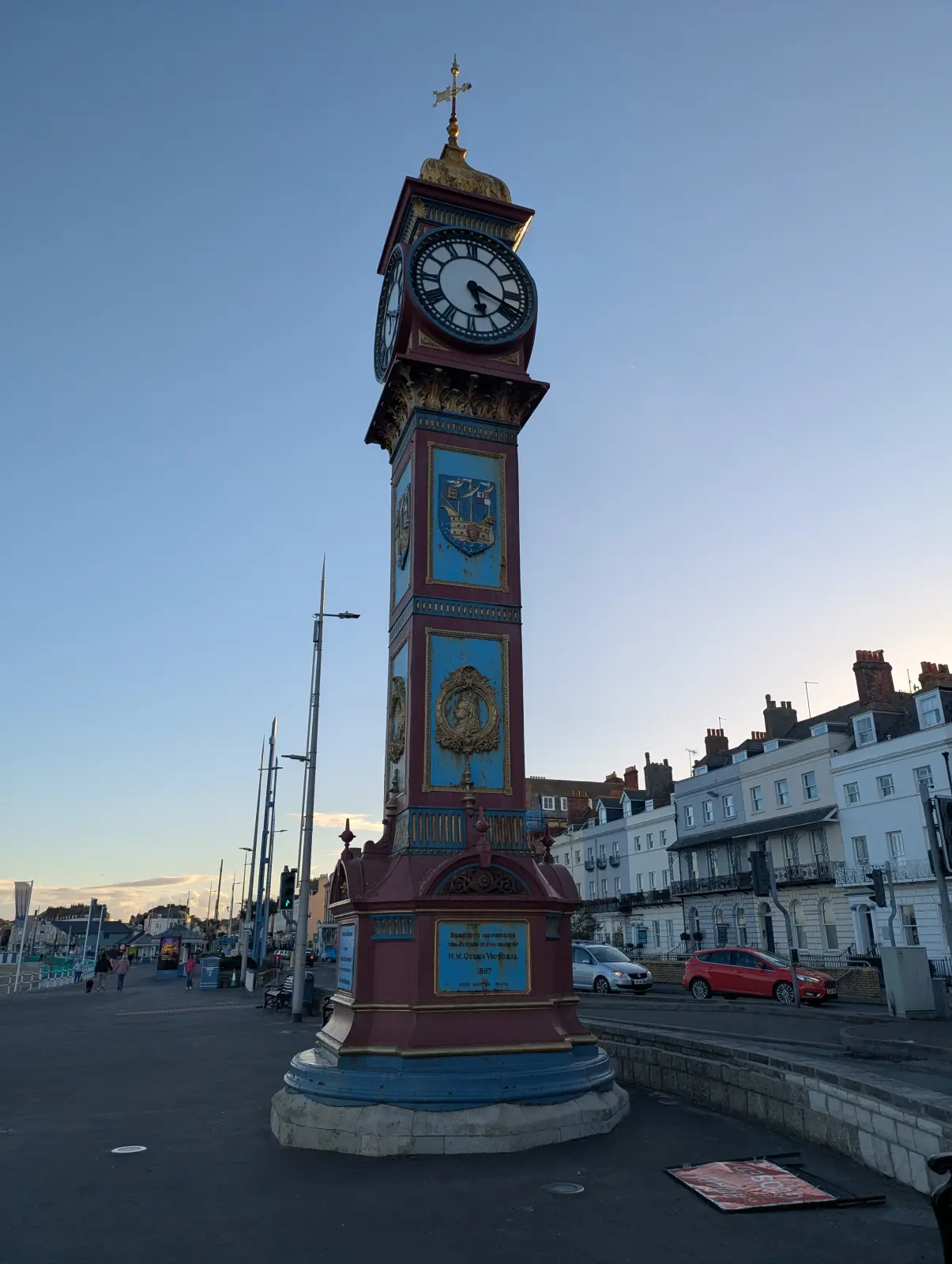
Weymouth's ornate Victorian Jubilee Clock, painted red, blue and gold, on the seafront at dusk, with terraced houses behind it.
Figure 15: The Jubilee Clock on Weymouth seafront, the end of the walk.

All walks · Next: East Meon to Alresford via The Flower Pots Inn →

Back to top

Citation

BibTeX citation:
@online{bailey2026,
  author = {Bailey, Alistair},
  title = {Upwey to {Weymouth}},
  date = {2026-10-16},
  url = {https://ab604.uk/blog/2026-11-11-walks/01-upwey-to-weymouth/},
  langid = {en}
}
For attribution, please cite this work as:
Bailey, Alistair. 2026. “Upwey to Weymouth.” October 16. https://ab604.uk/blog/2026-11-11-walks/01-upwey-to-weymouth/.